UN/LOCODE hub · Russia
RUNLK

Neftelensk

57.3333°, 107.0667°
1
Transport functions

Transport Functions

Port
UN/LOCODE

Hub Profile

Region
IRK
GeoNames

Location

Location of RUNLK
Natural Earth 10m (public domain) · IRK · RUNLK · 57.33, 107.07GoogleOSMYandex

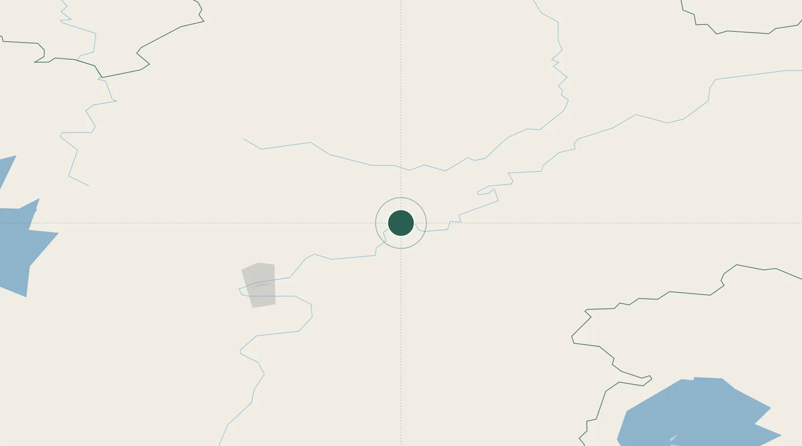
Nearby Logistics Neighbours

Cities
  1. 1Konets Lug22 km
  2. 2Leonova23 km
  3. 3Potapova28 km
  4. 4Tayura45 km
  5. 5Makarovo47 km
Nearest neighbours — logibook spatial index (haversine) over the source coordinates
Ports
  1. 1Igarka1529 km
  2. 2Dudinka1681 km
  3. 3Jinzhou Wan2099 km
  4. 4Huludao Gang2100 km
  5. 5Qinhuangdao2135 km
Nearest neighbours — logibook spatial index (haversine) over the source coordinates
Airports
  1. 1Ust-Kut Airport97 km
  2. 2Zheleznogorsk Airport203 km
  3. 3Nizhneangarsk International Airport230 km
  4. 4Bratsk Airport343 km
  5. 5Bodaybo Airport432 km
Nearest neighbours — logibook spatial index (haversine) over the source coordinates
Trade Zones
  1. 1Baikal Haven Touristic Zone615 km
  2. 2Baikal Gates Special Economic Zone674 km
  3. 3Altanbulag Special Economic Zone783 km
  4. 4Manzhouli Industrial Park1100 km
  5. 5Zhalai Nuoer Industrial Park1128 km
Nearest neighbours — logibook spatial index (haversine) over the source coordinates
DatabookThe Record of Consolidated Knowledge
Russia beyond logistics?
Browse databook

All Sources

LocationsUN/LOCODE
UN/LOCODE — free
Portsthe NGA World Port Index
Public domain (US gov)
AirportsOurAirports
Public domain
Trade Zonesthe World Bank SEZ database
CC BY 4.0
Trade ZonesOpen Zone Map
CC BY
← Russia locations