Transport Functions
Port
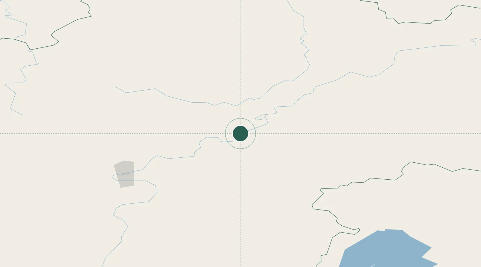
Hub Profile
Place type
Populated place
Region
Sverdlovsk Oblast
Time zone
Asia/Yekaterinburg
Elevation
105 m
Location
Nearby Logistics Neighbours
Cities
- 1Leonova7 km
- 2Makarovo20 km
- 3Neftelensk28 km
- 4Konets Lug44 km
- 5Kirensk55 km
Ports
- 1Igarka1540 km
- 2Dudinka1689 km
- 3Jinzhou Wan2089 km
- 4Huludao Gang2090 km
- 5Qinhuangdao2127 km
Airports
- 1Ust-Kut Airport123 km
- 2Nizhneangarsk International Airport217 km
- 3Zheleznogorsk Airport230 km
- 4Bratsk Airport371 km
- 5Bodaybo Airport404 km
Trade Zones
- 1Baikal Haven Touristic Zone620 km
- 2Baikal Gates Special Economic Zone688 km
- 3Altanbulag Special Economic Zone791 km
- 4Manzhouli Industrial Park1086 km
- 5Zhalai Nuoer Industrial Park1114 km
DatabookThe Record of Consolidated Knowledge
Russia beyond logistics?