UN/LOCODE hub · Denmark
DKGTS

Glatved Strand

56.3000°, 105.3167°
1
Transport functions

Transport Functions

Port
UN/LOCODE

Hub Profile

Region
82
GeoNames

Location

Location of DKGTS
Natural Earth 10m (public domain) · 82 · DKGTS · 56.30, 105.32GoogleOSMYandex

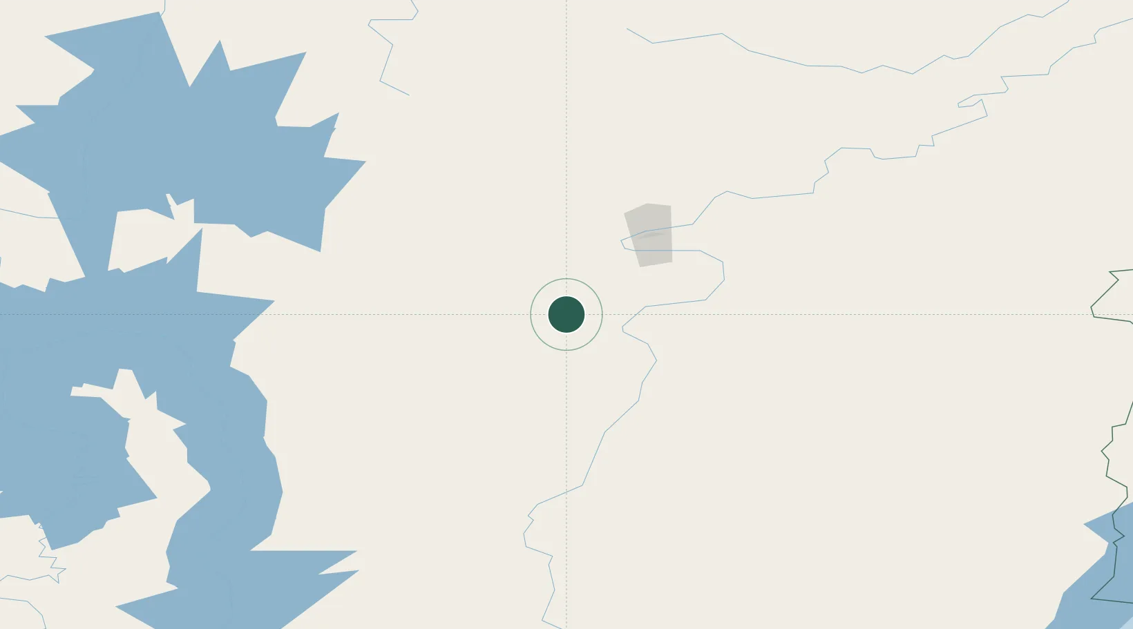
Nearby Logistics Neighbours

Cities
  1. 1Balakhnya64 km
  2. 2Borisova97 km
  3. 3Tayura113 km
  4. 4Konets Lug136 km
  5. 5Neftelensk157 km
Nearest neighbours — logibook spatial index (haversine) over the source coordinates
Ports
  1. 1Igarka1569 km
  2. 2Dudinka1734 km
  3. 3Jinzhou Wan2073 km
  4. 4Huludao Gang2073 km
  5. 5Qinhuangdao2097 km
Nearest neighbours — logibook spatial index (haversine) over the source coordinates
Airports
  1. 1Ust-Kut Airport67 km
  2. 2Zheleznogorsk Airport77 km
  3. 3Bratsk Airport223 km
  4. 4Nizhneangarsk International Airport271 km
  5. 5Khuzhir Airport368 km
Nearest neighbours — logibook spatial index (haversine) over the source coordinates
Trade Zones
  1. 1Baikal Haven Touristic Zone521 km
  2. 2Baikal Gates Special Economic Zone538 km
  3. 3Altanbulag Special Economic Zone672 km
  4. 4Manzhouli Industrial Park1102 km
  5. 5Zhalai Nuoer Industrial Park1129 km
Nearest neighbours — logibook spatial index (haversine) over the source coordinates
DatabookThe Record of Consolidated Knowledge
Denmark beyond logistics?
Browse databook

All Sources

LocationsUN/LOCODE
UN/LOCODE — free
Portsthe NGA World Port Index
Public domain (US gov)
AirportsOurAirports
Public domain
Trade Zonesthe World Bank SEZ database
CC BY 4.0
Trade ZonesOpen Zone Map
CC BY
← Denmark locations