Transport Functions
Port
Road
Border Crossing
Hub Profile
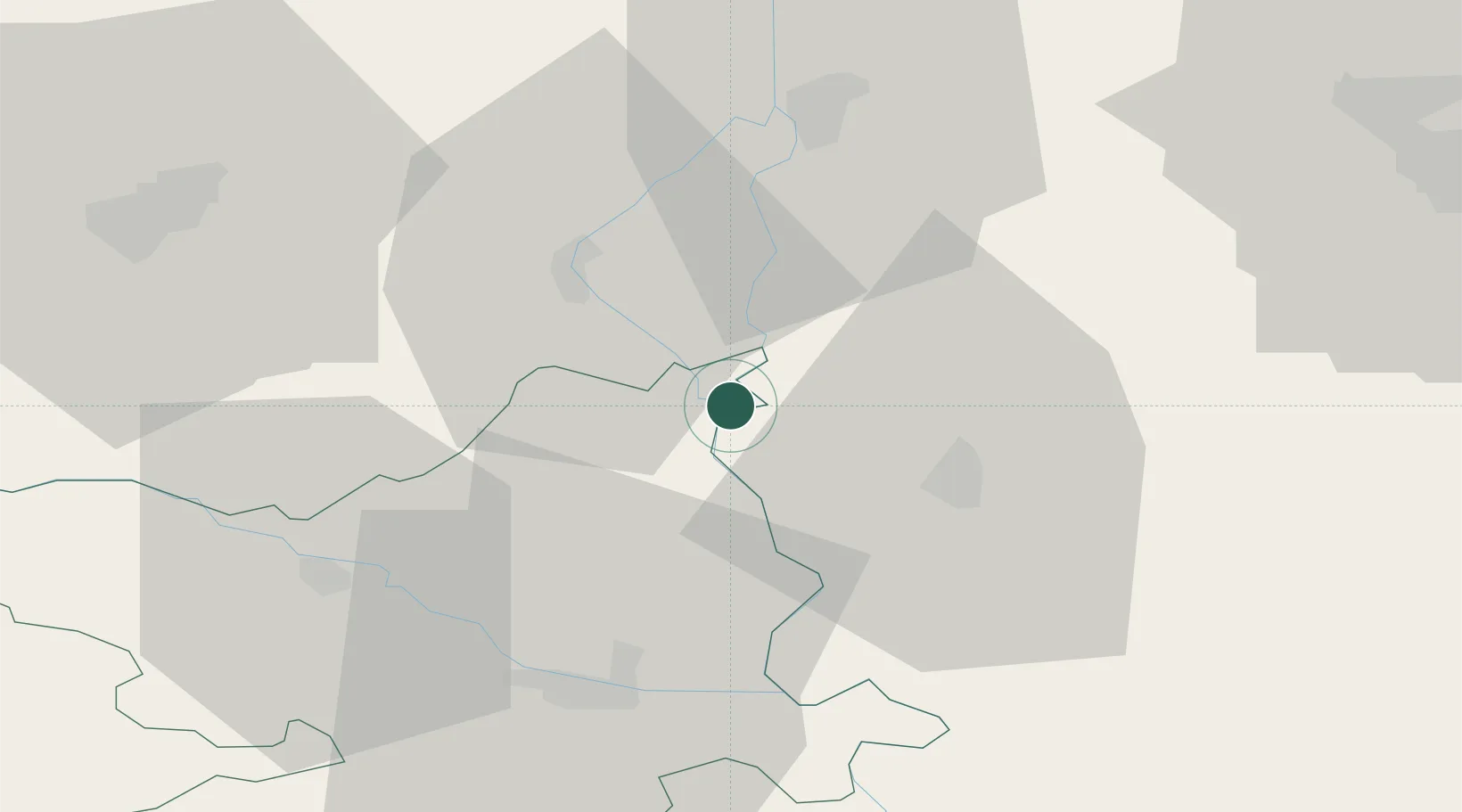
Place type
Populated place
Region
County of Osijek-Baranja
Population
594
Time zone
Europe/Zagreb
Elevation
86 m
Location
Nearby Logistics Neighbours
Airports
- 1Osijek Airport45 km
- 2Pécs-Pogány International Airport50 km
- 3Kalocsa-Foktő Airfield76 km
- 4Taszár Air Base94 km
- 5Kecskemét Air Base135 km
Trade Zones
- 1Apatin Free Zone22 km
- 2Podunavska Gospodarska Zona Vukovar59 km
- 3Subotica Free Zone64 km
- 4Osijek Free Zone69 km
- 5Novi Sad Free Zone101 km
DatabookThe Record of Consolidated Knowledge
Croatia beyond logistics?