Medium airport · Hungary
Taszár Air BaseLHTA
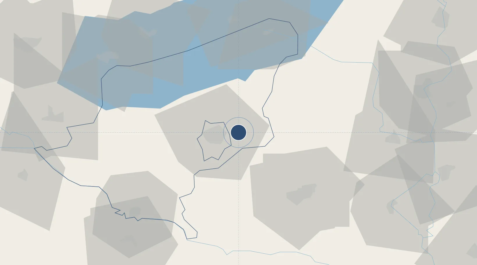
46.3931°, 17.9175°
8,205 ft
Longest runway
1
Runways
531 ft
Elevation
Runway & Layout

Navaids
MOB TACAN Taszar 114.20 MHz
Runways · 1
| Runway | Dimensions | Surface | True heading | Lit |
|---|---|---|---|---|
| 16/34 | 8,205 × —ft | Unknown | — | — |
Airport Specifications
ICAO code
LHTA
Airport class
Medium airport
Scheduled service
No
Runway surface
Unknown
Served city
Taszár
Location
Nearby Logistics Neighbours
Airports
- 1Pécs-Pogány International Airport51 km
- 2Hévíz–Balaton Airport67 km
- 3Kalocsa-Foktő Airfield80 km
- 4Osijek Airport125 km
- 5Tököl Airport133 km
Cities
- 1Santos6 km
- 2Dombóvár17 km
- 3Botykapeterd38 km
- 4Szentlorinc40 km
- 5Szigetvár41 km
Ports
- 1Senj282 km
- 2Bakar289 km
- 3Omisalj292 km
- 4Rijeka Luka294 km
- 5Zadar330 km
Trade Zones
- 1Apatin Free Zone113 km
- 2Sjever Free Zone122 km
- 3Osijek Free Zone126 km
- 4Duro Daković Free Zone136 km
- 5Subotica Free Zone137 km
DatabookThe Record of Consolidated Knowledge
Hungary beyond logistics?