Transport Functions
Port
Road
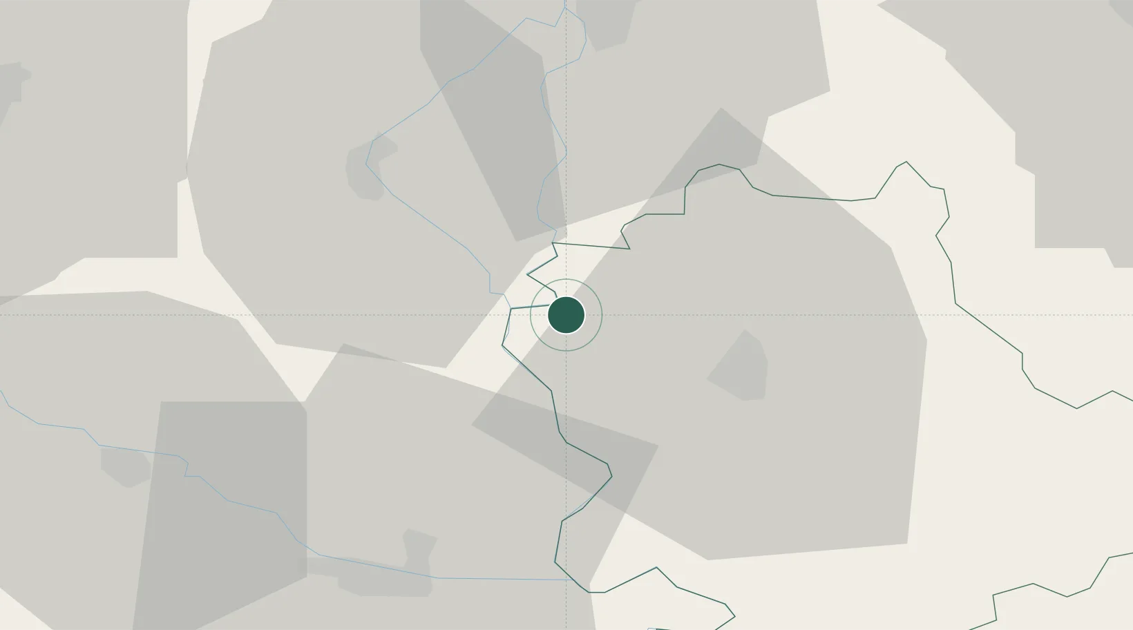
Location
Nearby Logistics Neighbours
Airports
- 1Osijek Airport44 km
- 2Pécs-Pogány International Airport54 km
- 3Kalocsa-Foktő Airfield78 km
- 4Taszár Air Base98 km
- 5Kecskemét Air Base135 km
Trade Zones
- 1Apatin Free Zone19 km
- 2Podunavska Gospodarska Zona Vukovar57 km
- 3Subotica Free Zone61 km
- 4Osijek Free Zone69 km
- 5Novi Sad Free Zone97 km
DatabookThe Record of Consolidated Knowledge
Serbia beyond logistics?