Transport Functions
Rail
Road
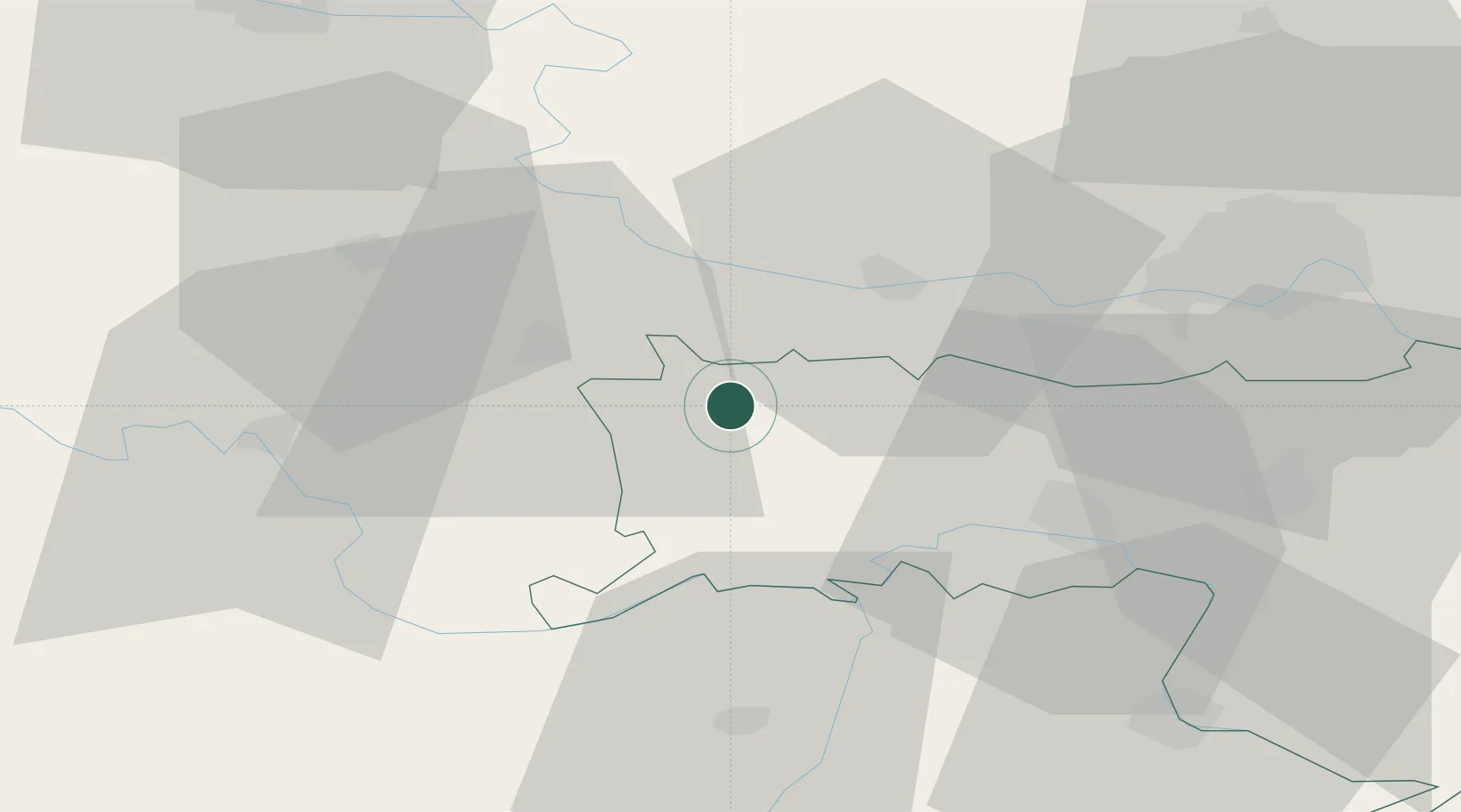
Hub Profile
Place type
District seat
Region
Vojvodina
Time zone
Europe/Belgrade
Elevation
104 m
Location
Nearby Logistics Neighbours
Cities
- 1Sarengrad14 km
- 2Mohovo15 km
- 3Ilok16 km
- 4Opatovac17 km
- 5Backa Palanka20 km
Airports
- 1Osijek Airport50 km
- 2Tuzla International Airport83 km
- 3Batajnica Air Base84 km
- 4Belgrade Nikola Tesla Airport92 km
- 5Pécs-Pogány International Airport123 km
Trade Zones
- 1Podunavska Gospodarska Zona Vukovar30 km
- 2Novi Sad Free Zone52 km
- 3Osijek Free Zone64 km
- 4Apatin Free Zone66 km
- 5ō abac Free Zone74 km
DatabookThe Record of Consolidated Knowledge
Serbia beyond logistics?