Transport Functions
Port
Road
Hub Profile
Place type
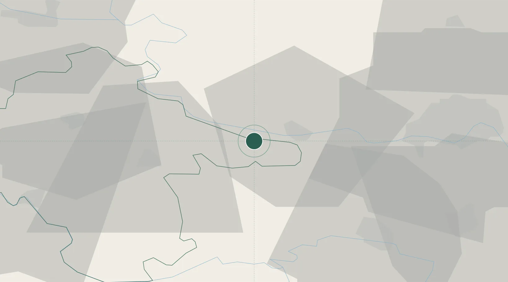
Populated place
Region
Vukovar-Srijem
Population
362
Time zone
Europe/Zagreb
Elevation
94 m
Location
Nearby Logistics Neighbours
Cities
- 1Mohovo6 km
- 2Ilok7 km
- 3Backa Palanka8 km
- 4Opatovac10 km
- 5Sid14 km
Airports
- 1Osijek Airport45 km
- 2Batajnica Air Base83 km
- 3Belgrade Nikola Tesla Airport93 km
- 4Tuzla International Airport97 km
- 5Pécs-Pogány International Airport117 km
Trade Zones
- 1Podunavska Gospodarska Zona Vukovar25 km
- 2Novi Sad Free Zone45 km
- 3Apatin Free Zone56 km
- 4Osijek Free Zone66 km
- 5ō abac Free Zone86 km
DatabookThe Record of Consolidated Knowledge
Croatia beyond logistics?