Transport Functions
Port
Rail
Road
Hub Profile
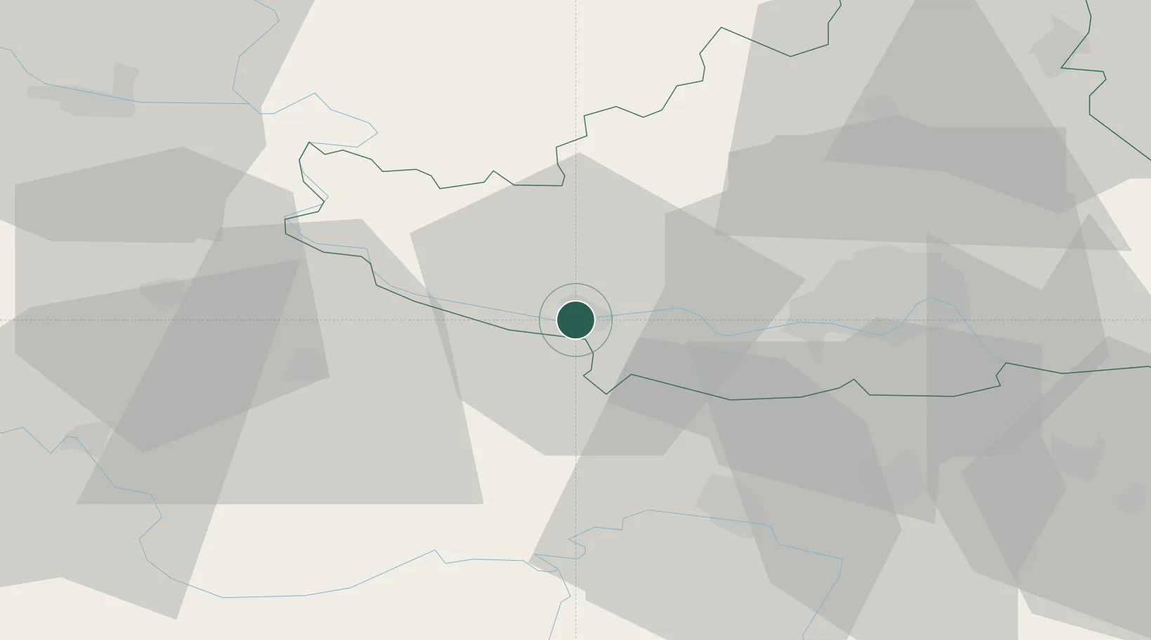
Place type
District seat
Region
Vojvodina
Population
29,449
Time zone
Europe/Belgrade
Elevation
81 m
Location
Nearby Logistics Neighbours
Airports
- 1Osijek Airport51 km
- 2Batajnica Air Base77 km
- 3Belgrade Nikola Tesla Airport87 km
- 4Tuzla International Airport102 km
- 5Pécs-Pogány International Airport121 km
Trade Zones
- 1Podunavska Gospodarska Zona Vukovar32 km
- 2Novi Sad Free Zone37 km
- 3Apatin Free Zone58 km
- 4Osijek Free Zone73 km
- 5Zrenjanin Free Zone79 km
DatabookThe Record of Consolidated Knowledge
Serbia beyond logistics?