Transport Functions
Port
Road
Border Crossing
Hub Profile
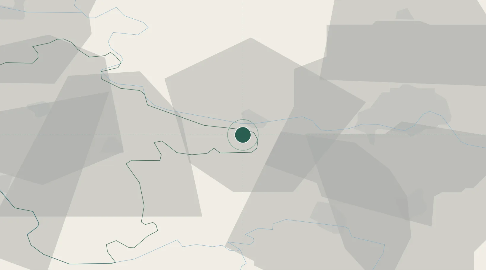
Place type
Provincial seat
Region
Vukovar-Srijem
Population
3,842
Time zone
Europe/Zagreb
Elevation
99 m
Location
Nearby Logistics Neighbours
Cities
- 1Backa Palanka4 km
- 2Sarengrad7 km
- 3Mohovo12 km
- 4Celarevo13 km
- 5Sid16 km
Airports
- 1Osijek Airport51 km
- 2Batajnica Air Base77 km
- 3Belgrade Nikola Tesla Airport86 km
- 4Tuzla International Airport98 km
- 5Pécs-Pogány International Airport123 km
Trade Zones
- 1Podunavska Gospodarska Zona Vukovar32 km
- 2Novi Sad Free Zone38 km
- 3Apatin Free Zone60 km
- 4Osijek Free Zone72 km
- 5Zrenjanin Free Zone81 km
DatabookThe Record of Consolidated Knowledge
Croatia beyond logistics?