Transport Functions
Rail
Road
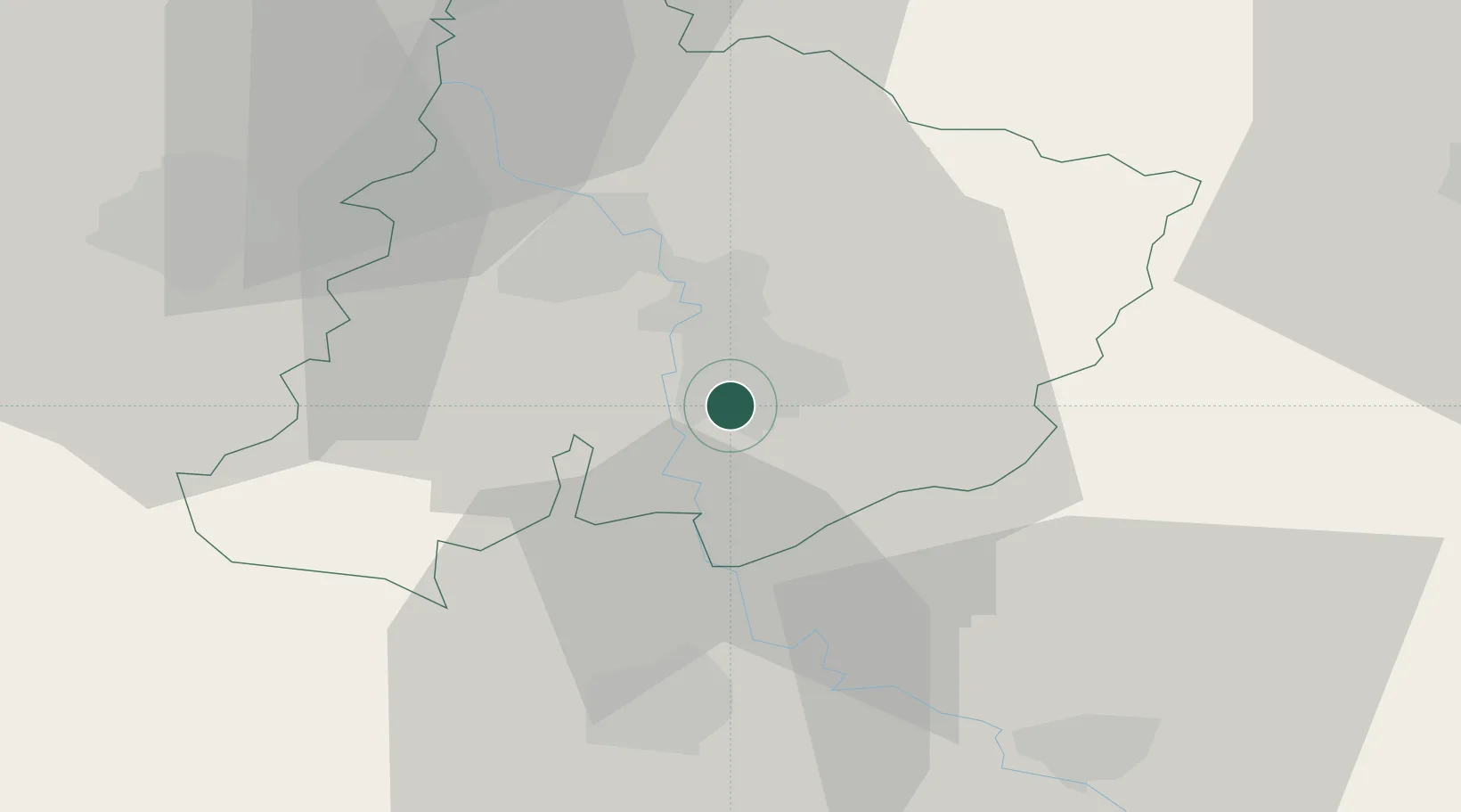
Location
Nearby Logistics Neighbours
Cities
- 1Paracin2 km
- 2Cuprija8 km
- 3Jagodina16 km
- 4Krusevac30 km
- 5Kragujevac42 km
Airports
Trade Zones
- 1Kruševac Free Zone33 km
- 2FAS Free Zone Kragujevac43 km
- 3Svilajnac Free Zone46 km
- 4Vidin Free Trade Zone94 km
- 5Smederevo Free Zone97 km
DatabookThe Record of Consolidated Knowledge
Serbia beyond logistics?