Transport Functions
Multimodal
Hub Profile
Place type
District seat
Region
Central Serbia
Population
6,000
Time zone
Europe/Belgrade
Elevation
130 m
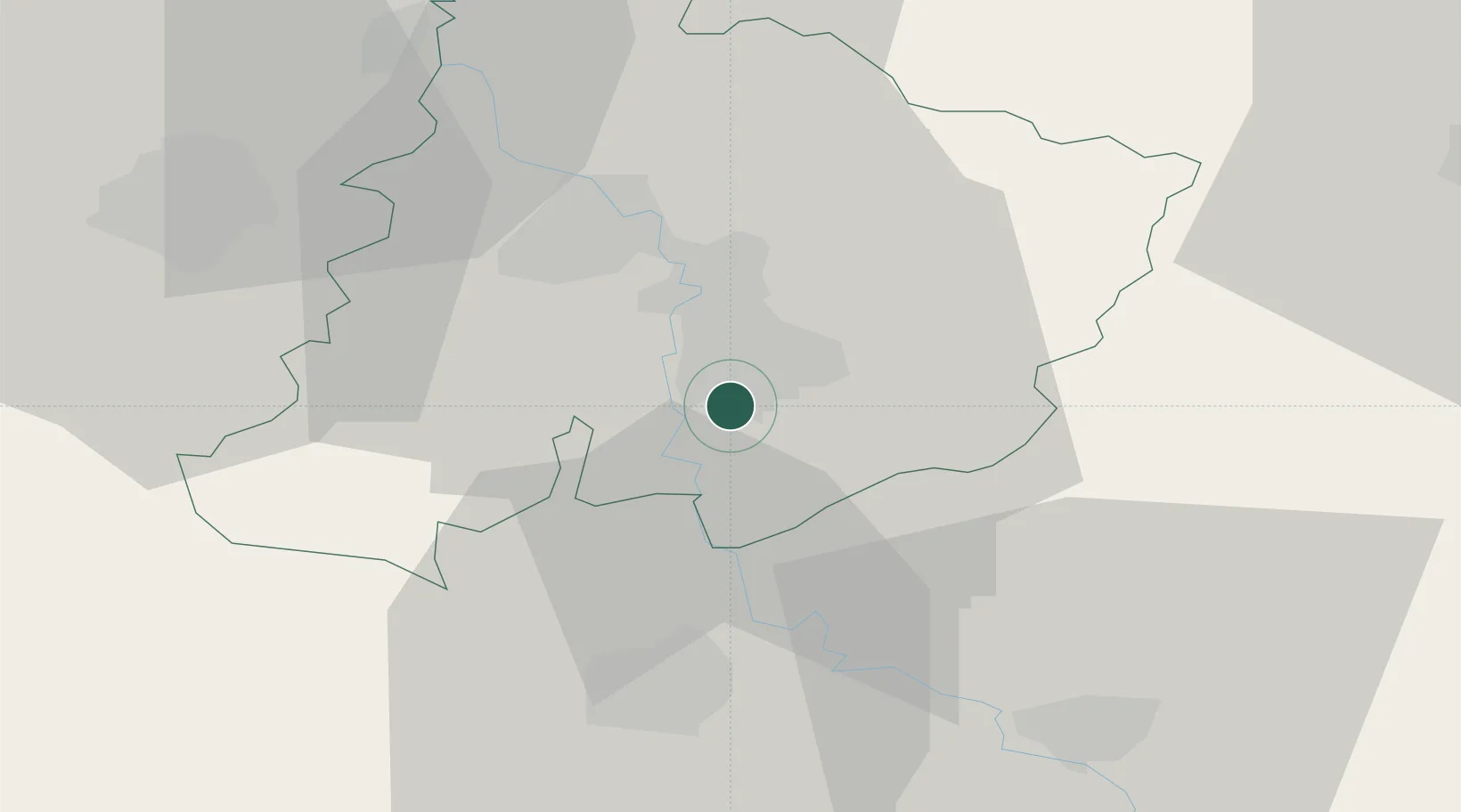
Location
Nearby Logistics Neighbours
Cities
- 1Parain2 km
- 2Cuprija9 km
- 3Jagodina18 km
- 4Krusevac29 km
- 5Kragujevac43 km
Airports
Trade Zones
- 1Kruševac Free Zone31 km
- 2FAS Free Zone Kragujevac43 km
- 3Svilajnac Free Zone48 km
- 4Vidin Free Trade Zone94 km
- 5Smederevo Free Zone98 km
DatabookThe Record of Consolidated Knowledge
Serbia beyond logistics?