Transport Functions
Port
Hub Profile
Place type
Provincial seat
Region
Baranya
Population
18,711
Time zone
Europe/Budapest
Elevation
90 m
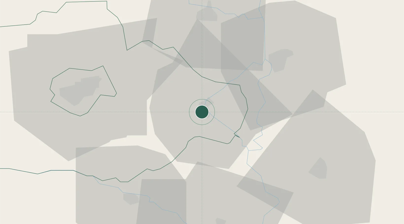
Location
Nearby Logistics Neighbours
Cities
- 1Szederkeny18 km
- 2Batina21 km
- 3Olasz21 km
- 4Magyarbóly23 km
- 5Villány23 km
Airports
- 1Pécs-Pogány International Airport34 km
- 2Osijek Airport61 km
- 3Kalocsa-Foktő Airfield65 km
- 4Taszár Air Base73 km
- 5Kecskemét Air Base131 km
Trade Zones
- 1Apatin Free Zone42 km
- 2Subotica Free Zone74 km
- 3Podunavska Gospodarska Zona Vukovar77 km
- 4Osijek Free Zone77 km
- 5Duro Daković Free Zone106 km
DatabookThe Record of Consolidated Knowledge
Hungary beyond logistics?