Transport Functions
Rail
Road
Hub Profile
Place type
Provincial seat
Region
County of Osijek-Baranja
Population
4,151
Time zone
Europe/Zagreb
Elevation
86 m
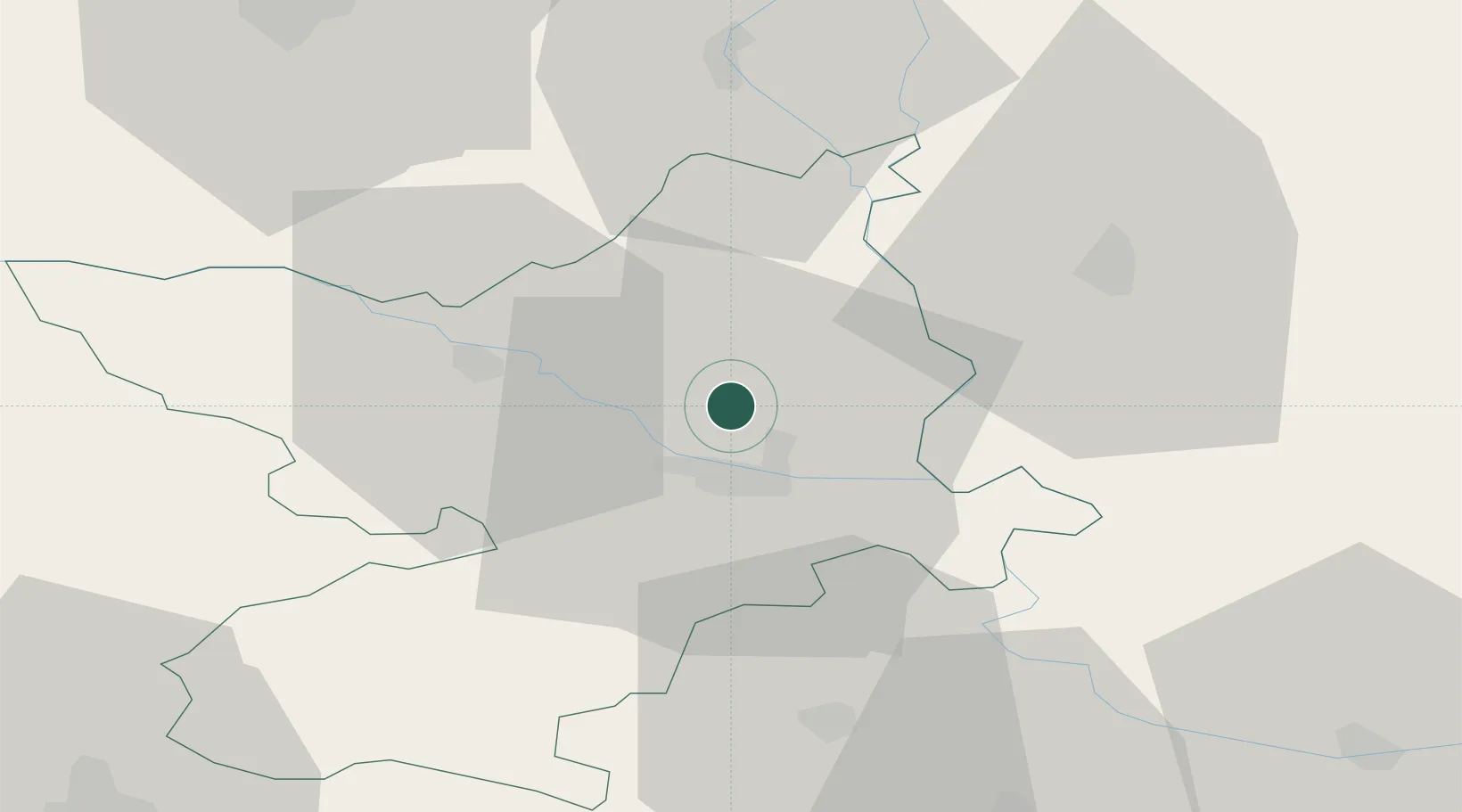
Location
Nearby Logistics Neighbours
Airports
- 1Osijek Airport21 km
- 2Pécs-Pogány International Airport53 km
- 3Kalocsa-Foktő Airfield104 km
- 4Taszár Air Base104 km
- 5Tuzla International Airport131 km
Trade Zones
- 1Apatin Free Zone21 km
- 2Osijek Free Zone40 km
- 3Podunavska Gospodarska Zona Vukovar40 km
- 4Duro Daković Free Zone75 km
- 5Subotica Free Zone88 km
DatabookThe Record of Consolidated Knowledge
Croatia beyond logistics?