Transport Functions
Road
Multimodal
Hub Profile
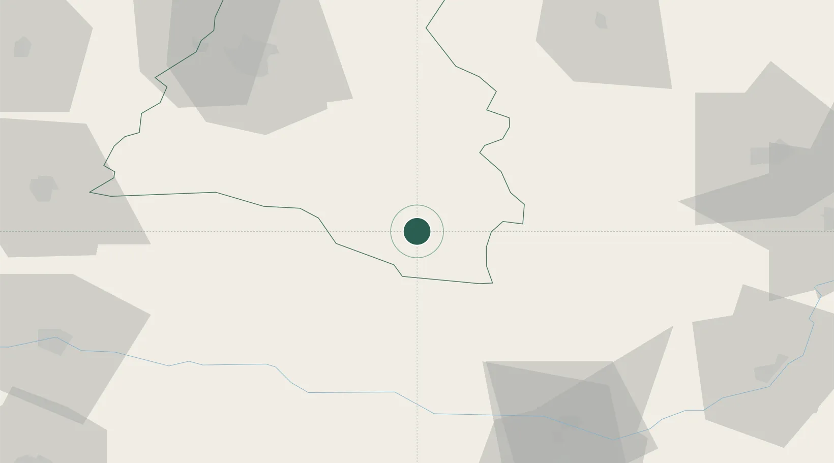
Place type
Provincial seat
Region
Bihor County
Population
6,529
Time zone
Europe/Bucharest
Elevation
241 m
Location
Nearby Logistics Neighbours
Cities
- 1Tiganesti10 km
- 2Pantasesti11 km
- 3Bratca45 km
- 4Brad, Hunedoara52 km
- 5Huedin58 km
Airports
Trade Zones
- 1Free Zone Curtici Arad93 km
- 2VGP Park Arad103 km
- 3VGP Park Timisoara129 km
- 4VGP Park Sibiu149 km
- 5Zrenjanin Free Zone207 km
DatabookThe Record of Consolidated Knowledge
Romania beyond logistics?