Transport Functions
Rail
Road
Hub Profile
Region
HD
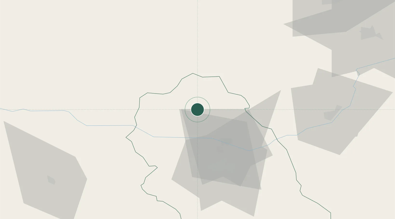
Location
Nearby Logistics Neighbours
Cities
- 1Mintia21 km
- 2Bocsa22 km
- 3Simeria39 km
- 4Stei52 km
- 5Hateg, Hunedoara57 km
Airports
Trade Zones
- 1VGP Park Sibiu106 km
- 2Free Zone Curtici Arad118 km
- 3VGP Park Arad119 km
- 4VGP Park Timisoara129 km
- 5Zrenjanin Free Zone204 km
DatabookThe Record of Consolidated Knowledge
Romania beyond logistics?