Large airport · Romania

Brașov-Ghimbav International AirportLRBV
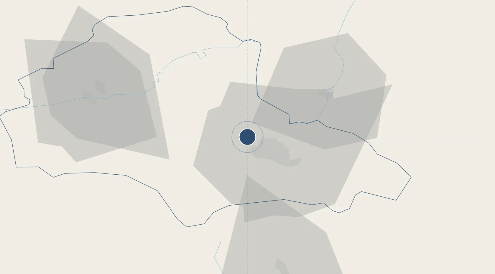
45.7056°, 25.5229°
9,252 ft
Longest runway
1
Runways
1,740 ft
Elevation

Runway & Layout

Brașov-Ghimbav International Airport runway & taxiway layout
Runway & taxiway layout — OpenStreetMap (ODbL) / OurAirports

Runways · 1

RunwayDimensions SurfaceTrue headingLit
03/21 9,252 × 148ft CONC
OurAirports

Airport Specifications

IATA code
GHV
OurAirports
ICAO code
LRBV
OurAirports
Airport class
Large airport
OurAirports
Scheduled service
Yes
OurAirports
Runway surface
CONC
OurAirports
Served city
Brașov (Ghimbav)
OurAirports

Location

Location of LRBV
Natural Earth 10m (public domain) · Brasov · LRBV · 45.71, 25.52GoogleOSMYandex

Nearby Logistics Neighbours

Airports
  1. 1Sibiu International Airport112 km
  2. 2Târgu Mureş Transilvania International Airport121 km
  3. 3Boboc Air Base126 km
  4. 4Bucharest Henri Coandă International Airport134 km
  5. 5Bacău George Enescu International Airport140 km
Nearest neighbours — logibook spatial index (haversine) over the source coordinates
Cities
  1. 1Codlea6 km
  2. 2Halchiu7 km
  3. 3Sacele16 km
  4. 4Prejmer19 km
  5. 5Zarnesti21 km
Nearest neighbours — logibook spatial index (haversine) over the source coordinates
Ports
  1. 1Braila198 km
  2. 2Galati202 km
  3. 3Reni218 km
  4. 4Cernavoda251 km
  5. 5Izmayil263 km
Nearest neighbours — logibook spatial index (haversine) over the source coordinates
Trade Zones
  1. 1VGP Park Brasov6 km
  2. 2VGP Park Sibiu113 km
  3. 3Free Zone Galați123 km
  4. 4VGP Park Buharest North141 km
  5. 5Free zone Brăila197 km
Nearest neighbours — logibook spatial index (haversine) over the source coordinates
DatabookThe Record of Consolidated Knowledge
Romania beyond logistics?
Browse databook

All Sources

AirportsOurAirports
Public domain
Portsthe NGA World Port Index
Public domain (US gov)
LocationsUN/LOCODE
UN/LOCODE — free
Trade Zonesthe World Bank SEZ database
CC BY 4.0
Trade ZonesOpen Zone Map
CC BY
InfrastructureOpenStreetMap
ODbL 1.0
← Romania airports