UN/LOCODE hub · Romania
RORZL

Ludus

46.4833°, 24.1000°
17,165
Population
1
Transport functions

Transport Functions

Multimodal
UN/LOCODE

Hub Profile

Place type
Provincial seat
GeoNames
Region
Mureș County
GeoNames
Population
17,165
GeoNames
Time zone
Europe/Bucharest
GeoNames
Elevation
272 m
GeoNames

Location

Location of RORZL
Natural Earth 10m (public domain) · Mureș County · RORZL · 46.48, 24.10GoogleOSMYandex

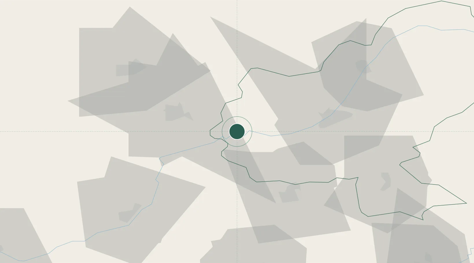
Nearby Logistics Neighbours

Cities
  1. 1Unirea25 km
  2. 2Turda26 km
  3. 3Nazna31 km
  4. 4Sîncraiu de Mures32 km
  5. 5Tureni34 km
Nearest neighbours — logibook spatial index (haversine) over the source coordinates
Ports
  1. 1Galati330 km
  2. 2Braila330 km
  3. 3Reni345 km
  4. 4Izmayil389 km
  5. 5Cernavoda390 km
Nearest neighbours — logibook spatial index (haversine) over the source coordinates
Airports
  1. 1Câmpia Turzii Air Base17 km
  2. 2Târgu Mureş Transilvania International Airport24 km
  3. 3Avram Iancu Cluj International Airport46 km
  4. 4Sibiu International Airport78 km
  5. 5Maramureș International Airport139 km
Nearest neighbours — logibook spatial index (haversine) over the source coordinates
Trade Zones
  1. 1VGP Park Sibiu78 km
  2. 2VGP Park Brasov145 km
  3. 3Free Zone Curtici Arad216 km
  4. 4VGP Park Arad223 km
  5. 5VGP Park Timisoara238 km
Nearest neighbours — logibook spatial index (haversine) over the source coordinates
DatabookThe Record of Consolidated Knowledge
Romania beyond logistics?
Browse databook

All Sources

LocationsUN/LOCODE
UN/LOCODE — free
LocationsGeoNames
CC BY 4.0
Portsthe NGA World Port Index
Public domain (US gov)
AirportsOurAirports
Public domain
Trade Zonesthe World Bank SEZ database
CC BY 4.0
Trade ZonesOpen Zone Map
CC BY
← Romania locations