Transport Functions
Rail
Road
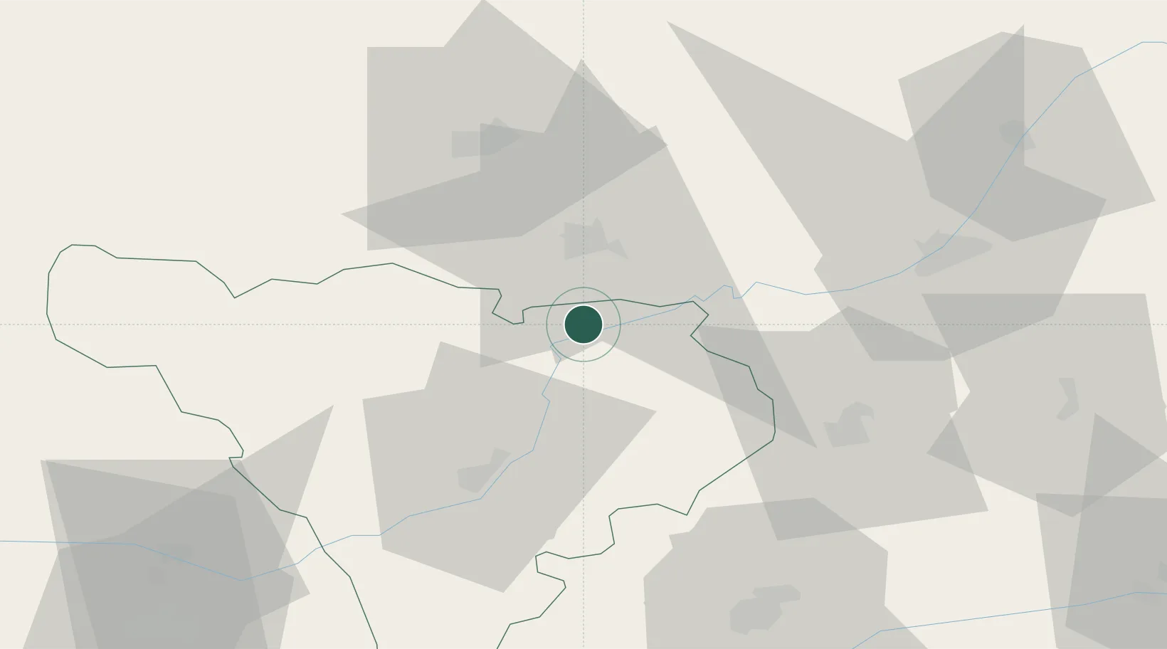
Hub Profile
Place type
Provincial seat
Region
Alba County
Population
3,924
Time zone
Europe/Bucharest
Elevation
276 m
Location
Nearby Logistics Neighbours
Cities
- 1Turda19 km
- 2Ludus25 km
- 3Tureni25 km
- 4Blaj26 km
- 5Salciua de Jos28 km
Airports
Trade Zones
- 1VGP Park Sibiu72 km
- 2VGP Park Brasov158 km
- 3Free Zone Curtici Arad193 km
- 4VGP Park Arad199 km
- 5VGP Park Timisoara213 km
DatabookThe Record of Consolidated Knowledge
Romania beyond logistics?