Transport Functions
Port
Multimodal
Hub Profile
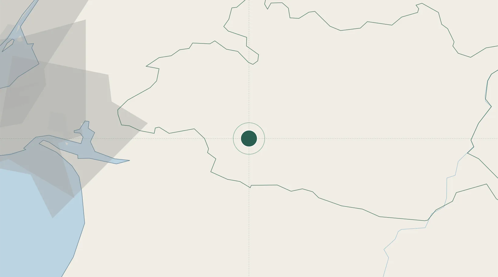
Place type
Populated place
Region
Évora
Time zone
Europe/Lisbon
Elevation
203 m
Location
Nearby Logistics Neighbours
Cities
- 1Montemor-o-Novo17 km
- 2Viana do Alentejo24 km
- 3Évora24 km
- 4Arraiolos29 km
- 5Vendas Novas32 km
Ports
- 1Setubal64 km
- 2Sines87 km
- 3Lisboa90 km
- 4Lagos161 km
- 5Vila Real De S Antonio161 km
Airports
- 1Évora Airfield24 km
- 2Beja Airport / Airbase51 km
- 3Estremoz Municipal Heliport60 km
- 4Montijo Air Base79 km
- 5Aeródromo Municipal de Ponte de Sor80 km
Trade Zones
- 1Puerto de Huelva174 km
- 2Zona Franca de Sevilla230 km
- 3VGP Park Santa Maria da Feira273 km
- 4Zona Franca de Cádiz278 km
- 5Zona Livre Tecnológica Masotinhos301 km
DatabookThe Record of Consolidated Knowledge
Portugal beyond logistics?