UN/LOCODE hub · Portugal
PTCAB

Cabeço de Vide

39.1333°, -7.5833°
2
Transport functions

Transport Functions

Rail
Road
UN/LOCODE

Hub Profile

Place type
Populated place
GeoNames
Region
Portalegre
GeoNames
Time zone
Europe/Lisbon
GeoNames
Elevation
285 m
GeoNames

Location

Location of PTCAB
Natural Earth 10m (public domain) · Portalegre · PTCAB · 39.13, -7.58GoogleOSMYandex

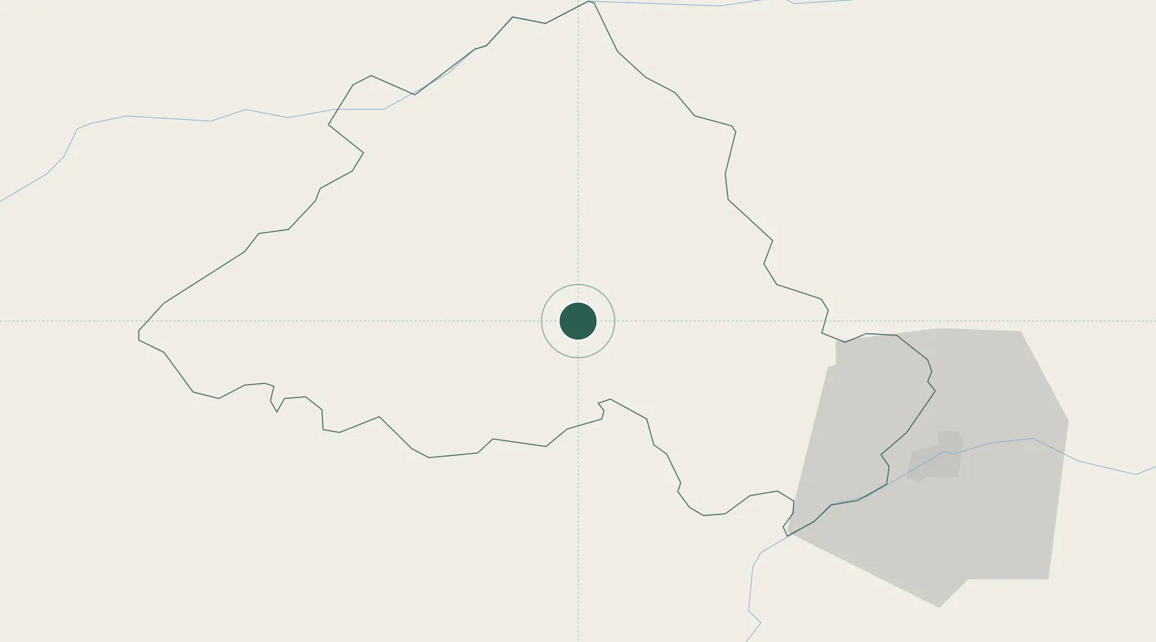
Nearby Logistics Neighbours

Cities
  1. 1Fronteira11 km
  2. 2Crato19 km
  3. 3Souzel22 km
  4. 4Estremoz32 km
  5. 5Castelo de Vide34 km
Nearest neighbours — logibook spatial index (haversine) over the source coordinates
Ports
  1. 1Setubal133 km
  2. 2Lisboa145 km
  3. 3Figueira Da Foz157 km
  4. 4Sines173 km
  5. 5Aveiro192 km
Nearest neighbours — logibook spatial index (haversine) over the source coordinates
Airports
  1. 1Estremoz Municipal Heliport34 km
  2. 2Aeródromo Municipal de Ponte de Sor42 km
  3. 3Badajoz Airport71 km
  4. 4Évora Airfield72 km
  5. 5Tancos Airbase77 km
Nearest neighbours — logibook spatial index (haversine) over the source coordinates
Trade Zones
  1. 1Puerto de Huelva215 km
  2. 2VGP Park Santa Maria da Feira217 km
  3. 3Zona Franca de Sevilla243 km
  4. 4Zona Livre Tecnológica Masotinhos246 km
  5. 5Zona Franca de Cádiz315 km
Nearest neighbours — logibook spatial index (haversine) over the source coordinates
DatabookThe Record of Consolidated Knowledge
Portugal beyond logistics?
Browse databook

All Sources

LocationsUN/LOCODE
UN/LOCODE — free
Portsthe NGA World Port Index
Public domain (US gov)
AirportsOurAirports
Public domain
Trade Zonesthe World Bank SEZ database
CC BY 4.0
Trade ZonesOpen Zone Map
CC BY
← Portugal locations