Transport Functions
Multimodal
Hub Profile
Place type
Populated place
Region
Porto
Time zone
Europe/Lisbon
Elevation
111 m
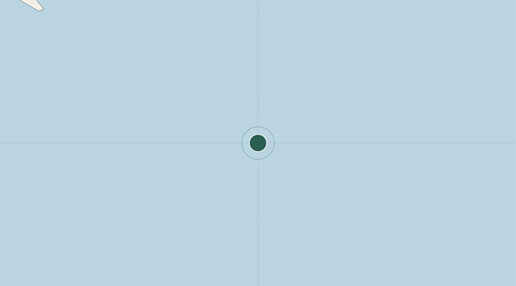
Location
Nearby Logistics Neighbours
Cities
- 1Felixstow1421 km
- 2Caufield North2042 km
- 3Twizel2123 km
- 4Stompneus2603 km
- 5Lüderitz2712 km
Ports
- 1Simonstown2495 km
- 2Cape Town2507 km
- 3Saldanha Bay2516 km
- 4Grytviken2516 km
- 5Luderitz Bay2711 km
Airports
- 1Saldanha/Vredenburg Airport2519 km
- 2Kleinsee Airport2644 km
- 3Oranjemund Airport2668 km
- 4Alexander Bay Airport2676 km
- 5Springbok Airport2711 km
Trade Zones
DatabookThe Record of Consolidated Knowledge
Portugal beyond logistics?