Transport Functions
Rail
Road
Hub Profile
Place type
Provincial seat
Region
Faro
Population
17,930
Time zone
Europe/Lisbon
Elevation
186 m
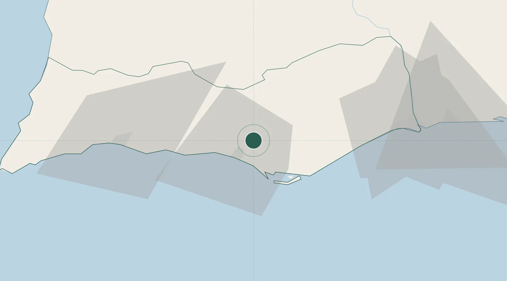
Location
Nearby Logistics Neighbours
Cities
- 1Almancil6 km
- 2Quarteira10 km
- 3Boliqueime11 km
- 4Olhos de Água14 km
- 5Faro16 km
Ports
- 1Faro14 km
- 2Lagos52 km
- 3Vila Real De S Antonio56 km
- 4Huelva97 km
- 5Sines117 km
Airports
- 1Faro - Gago Coutinho International Airport14 km
- 2Portimão Airport49 km
- 3Beja Airport / Airbase106 km
- 4Évora Airfield156 km
- 5Rota Naval Station Airport159 km
Trade Zones
- 1Puerto de Huelva96 km
- 2Zona Franca de Cádiz172 km
- 3Zona Franca de Sevilla181 km
- 4Tanger Free Export Zone247 km
- 5Depósito Franco de Algeciras258 km
DatabookThe Record of Consolidated Knowledge
Portugal beyond logistics?