Transport Functions
Port
Rail
Road
Hub Profile
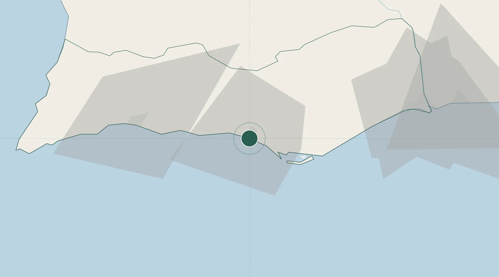
Place type
Populated place
Region
Faro
Population
24,420
Time zone
Europe/Lisbon
Elevation
23 m
Location
Nearby Logistics Neighbours
Cities
- 1Almancil6 km
- 2Boliqueime7 km
- 3Olhos de Água8 km
- 4Loulé10 km
- 5Albufeira13 km
Ports
- 1Faro15 km
- 2Lagos46 km
- 3Vila Real De S Antonio63 km
- 4Huelva104 km
- 5Sines119 km
Airports
- 1Faro - Gago Coutinho International Airport13 km
- 2Portimão Airport44 km
- 3Beja Airport / Airbase114 km
- 4Rota Naval Station Airport163 km
- 5Évora Airfield164 km
Trade Zones
- 1Puerto de Huelva103 km
- 2Zona Franca de Cádiz175 km
- 3Zona Franca de Sevilla188 km
- 4Tanger Free Export Zone247 km
- 5Depósito Franco de Algeciras260 km
DatabookThe Record of Consolidated Knowledge
Portugal beyond logistics?