UN/LOCODE hub · Portugal
PTOLA
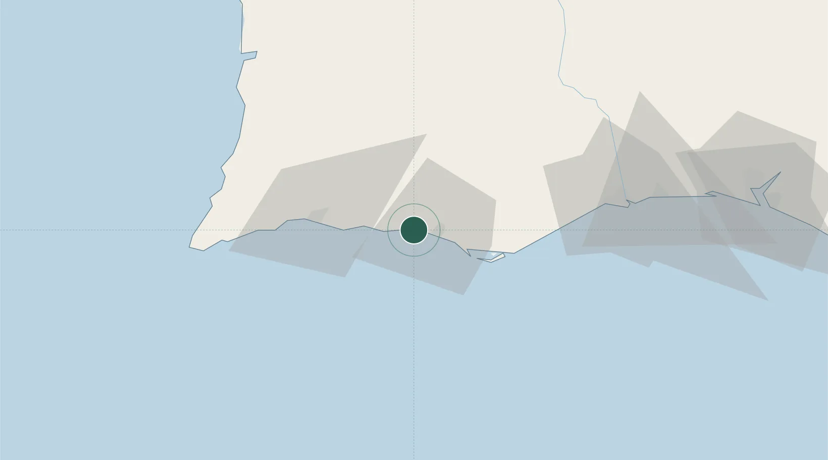
Olhos de Água
37.0833°, -8.1833°
13,221
Population
1
Transport functions
Transport Functions
Port
Hub Profile
Place type
Populated place
Region
Faro
Population
13,221
Time zone
Europe/Lisbon
Elevation
20 m
Location
Nearby Logistics Neighbours
Cities
- 1Boliqueime5 km
- 2Albufeira6 km
- 3Quarteira8 km
- 4Almancil13 km
- 5Loulé14 km
Ports
- 1Faro23 km
- 2Lagos39 km
- 3Vila Real De S Antonio70 km
- 4Huelva111 km
- 5Sines114 km
Airports
- 1Faro - Gago Coutinho International Airport20 km
- 2Portimão Airport36 km
- 3Beja Airport / Airbase113 km
- 4Évora Airfield163 km
- 5Rota Naval Station Airport170 km
Trade Zones
- 1Puerto de Huelva110 km
- 2Zona Franca de Cádiz183 km
- 3Zona Franca de Sevilla195 km
- 4Tanger Free Export Zone254 km
- 5Depósito Franco de Algeciras267 km
DatabookThe Record of Consolidated Knowledge
Portugal beyond logistics?