Transport Functions
Port
Rail
Road
Airport
Hub Profile
Place type
Regional capital
Region
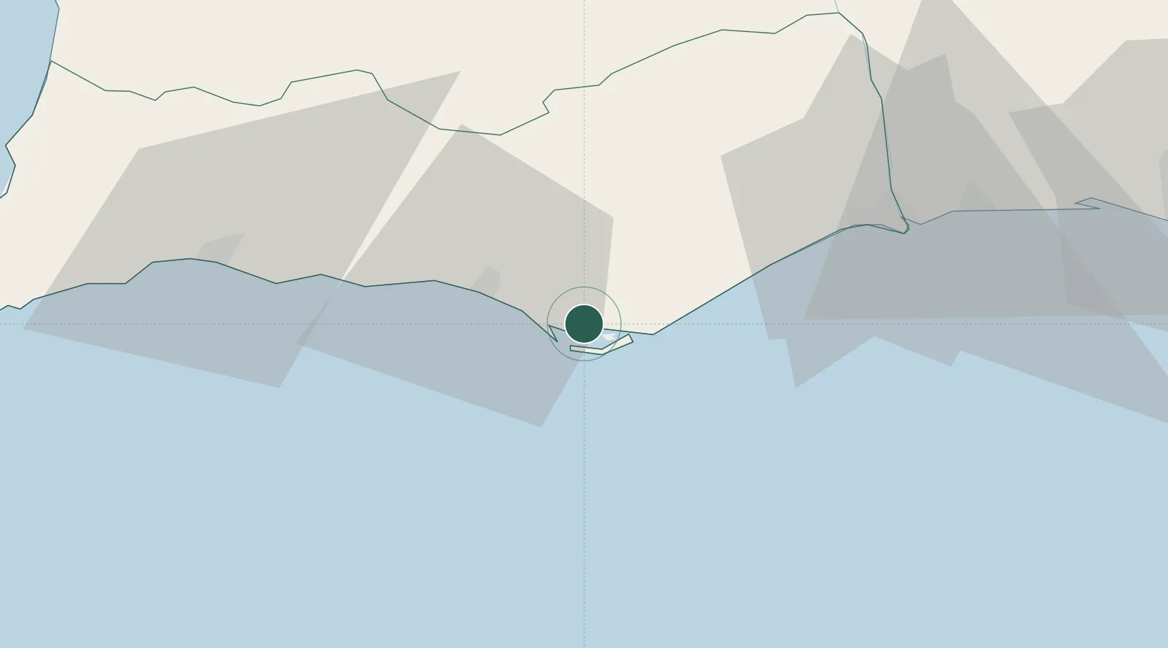
Faro
Population
70,347
Time zone
Europe/Lisbon
Elevation
24 m
Location
Nearby Logistics Neighbours
Ports
- 1Vila Real De S Antonio51 km
- 2Lagos61 km
- 3Huelva91 km
- 4Sines133 km
- 5Rota149 km
Airports
Trade Zones
- 1Puerto de Huelva90 km
- 2Zona Franca de Cádiz159 km
- 3Zona Franca de Sevilla175 km
- 4Tanger Free Export Zone232 km
- 5Depósito Franco de Algeciras244 km
DatabookThe Record of Consolidated Knowledge
Portugal beyond logistics?