Transport Functions
Rail
Road
Hub Profile
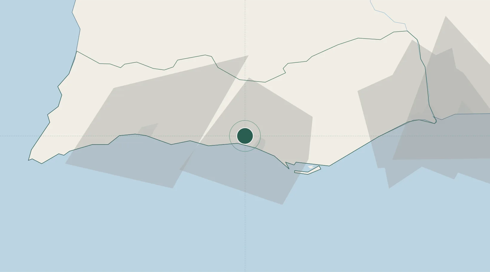
Place type
Populated place
Region
Faro
Population
4,470
Time zone
Europe/Lisbon
Elevation
120 m
Location
Nearby Logistics Neighbours
Cities
- 1Olhos de Água5 km
- 2Quarteira7 km
- 3Albufeira10 km
- 4Loulé11 km
- 5Almancil11 km
Ports
- 1Faro21 km
- 2Lagos41 km
- 3Vila Real De S Antonio67 km
- 4Huelva107 km
- 5Sines112 km
Airports
- 1Faro - Gago Coutinho International Airport19 km
- 2Portimão Airport39 km
- 3Beja Airport / Airbase109 km
- 4Évora Airfield159 km
- 5Rota Naval Station Airport169 km
Trade Zones
- 1Puerto de Huelva107 km
- 2Zona Franca de Cádiz181 km
- 3Zona Franca de Sevilla192 km
- 4Tanger Free Export Zone254 km
- 5Depósito Franco de Algeciras266 km
DatabookThe Record of Consolidated Knowledge
Portugal beyond logistics?