Transport Functions
Rail
Road
Hub Profile
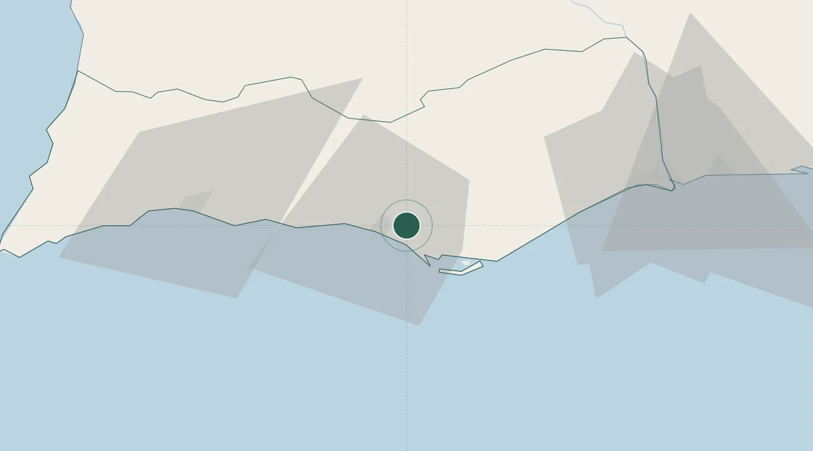
Place type
Populated place
Region
Faro
Population
11,291
Time zone
Europe/Lisbon
Elevation
55 m
Location
Nearby Logistics Neighbours
Cities
- 1Loulé6 km
- 2Quarteira6 km
- 3Boliqueime11 km
- 4Faro12 km
- 5Olhos de Água13 km
Ports
- 1Faro11 km
- 2Lagos52 km
- 3Vila Real De S Antonio57 km
- 4Huelva98 km
- 5Sines121 km
Airports
Trade Zones
- 1Puerto de Huelva97 km
- 2Zona Franca de Cádiz170 km
- 3Zona Franca de Sevilla182 km
- 4Tanger Free Export Zone243 km
- 5Depósito Franco de Algeciras255 km
DatabookThe Record of Consolidated Knowledge
Portugal beyond logistics?