Transport Functions
Rail
Road
Hub Profile
Place type
Locality
Region
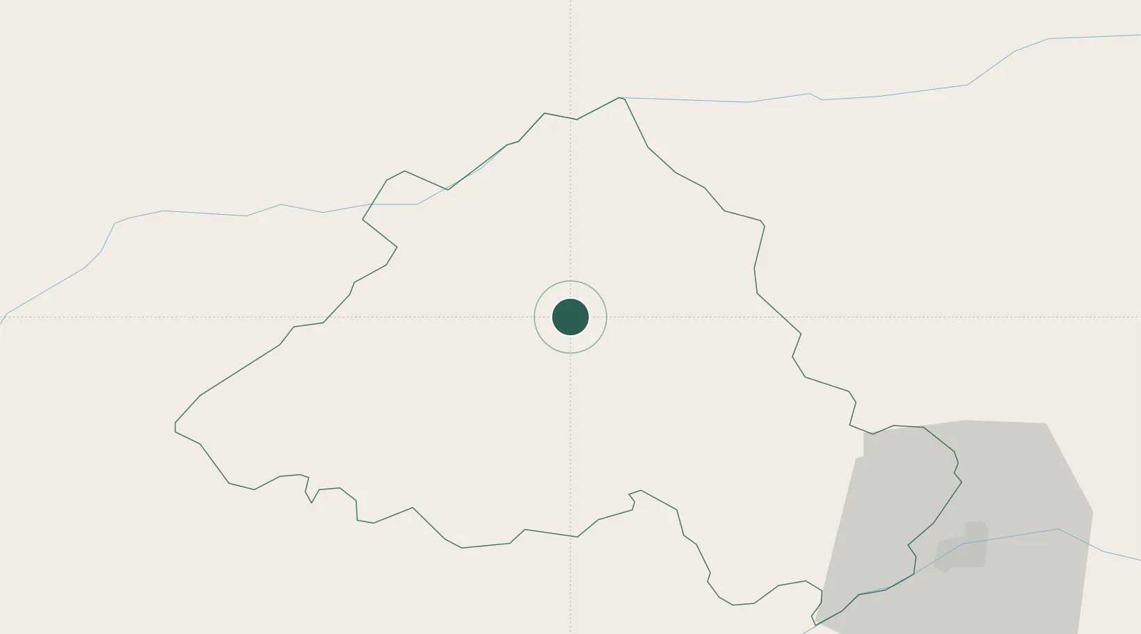
Portalegre
Time zone
Europe/Lisbon
Elevation
276 m
Location
Nearby Logistics Neighbours
Cities
- 1Cabeço de Vide19 km
- 2Castelo de Vide22 km
- 3Marvão26 km
- 4Fronteira28 km
- 5Ponte de Sor32 km
Ports
- 1Setubal139 km
- 2Figueira Da Foz140 km
- 3Lisboa147 km
- 4Aveiro173 km
- 5Sines184 km
Airports
- 1Aeródromo Municipal de Ponte de Sor37 km
- 2Estremoz Municipal Heliport53 km
- 3Aerodromo de Castelo Branco63 km
- 4Tancos Airbase64 km
- 5Badajoz Airport85 km
Trade Zones
- 1VGP Park Santa Maria da Feira197 km
- 2Zona Livre Tecnológica Masotinhos226 km
- 3Puerto de Huelva235 km
- 4Zona Franca de Sevilla262 km
- 5Zona Franca de Cádiz334 km
DatabookThe Record of Consolidated Knowledge
Portugal beyond logistics?