Seaport · Portugal

AveiroPTAVE

40.6500°, -8.6500°
6.4 m
Channel depth
13.7
Port liner connectivity
Aveiro is also a UN/LOCODE logistics hub →

Channel & Berth Profile

SEA LEVEL (CD)CHANNEL BEDChannel · 6.4 mCargo pier · 9.4 mAnchorage · 11.0 m
NGA World Port Index

Pilotage, Tugs & Services

Pilotage compulsoryYES
Pilotage availableYES
Tug assistanceYES
Potable waterYES
Diesel bunkersYES
MedicalYES
Garbage disposalYES
NGA World Port Index

Facilities & Capabilities

Container
Ro-Ro
Liquid bulk
Dry bulk
Oil terminal
Break bulk
Dry dockNO
RepairsNO
BunkeringYES
Rail linkYES
Dangerous cargo
ISPS security
NGA World Port Index

Harbour Specifications

Harbour size
Medium
NGA World Port Index
Harbour type
River (Natural)
NGA World Port Index
Shelter
Good
NGA World Port Index
Water body
North Atlantic Ocean
NGA World Port Index
Tidal range
3 m
NGA World Port Index
Pilotage
Yes
NGA World Port Index

Liner Connectivity

13.7
PLSCI

Port Liner Shipping Connectivity Index for Aveiro, as published by UNCTAD for the latest available quarter. Higher values indicate stronger scheduled liner-shipping integration.

Shown relative to the highest per-port PLSCI in the dataset (1,657.9).
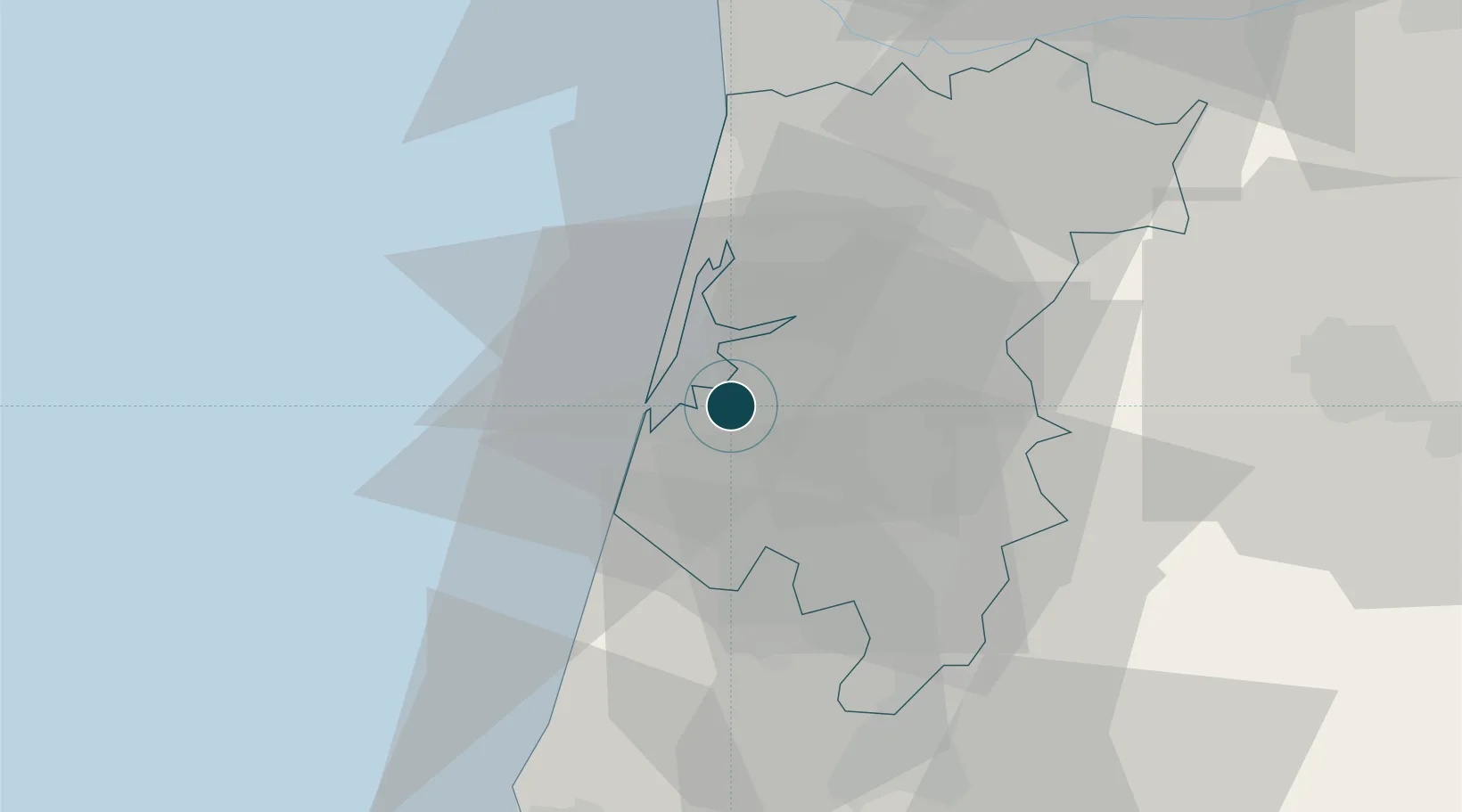
UNCTAD · Port Liner Shipping Connectivity Index

Location

Location of PTAVE
Natural Earth 10m (public domain) · Aveiro · PTAVE · 40.65, -8.65GoogleOSMYandex

Nearby Logistics Neighbours

Ports
  1. 1Oporto56 km
  2. 2Figueira Da Foz58 km
  3. 3Porto De Leixoes60 km
  4. 4Viana Do Castelo118 km
  5. 5Vigo176 km
Nearest neighbours — logibook spatial index (haversine) over the source coordinates
Cities
  1. 1Gafanha da Nazaré6 km
  2. 2Cacia7 km
  3. 3Torreira12 km
  4. 4Estarreja13 km
  5. 5Nariz14 km
Nearest neighbours — logibook spatial index (haversine) over the source coordinates
Airports
  1. 1Ovar Air Base30 km
  2. 2Aerodromo Municipal de Coimbra57 km
  3. 3Aerodromo Goncalves Lobato (Viseu Airport)65 km
  4. 4Francisco de Sá Carneiro Airport67 km
  5. 5Vilar de Luz Airfield71 km
Nearest neighbours — logibook spatial index (haversine) over the source coordinates
Trade Zones
  1. 1VGP Park Santa Maria da Feira32 km
  2. 2Zona Livre Tecnológica Masotinhos59 km
  3. 3Zona Franca de Vigo176 km
  4. 4Depósito Franco de La Coruña302 km
  5. 5Puerto de Huelva404 km
Nearest neighbours — logibook spatial index (haversine) over the source coordinates
DatabookThe Record of Consolidated Knowledge
Portugal beyond logistics?
Browse databook

All Sources

Portsthe NGA World Port Index
Public domain (US gov)
Logistics performanceUNCTAD
CC BY 3.0 IGO
AirportsOurAirports
Public domain
LocationsUN/LOCODE
UN/LOCODE — free
Trade Zonesthe World Bank SEZ database
CC BY 4.0
Trade ZonesOpen Zone Map
CC BY
← Portugal ports