Transport Functions
Port
Rail
Road
Hub Profile
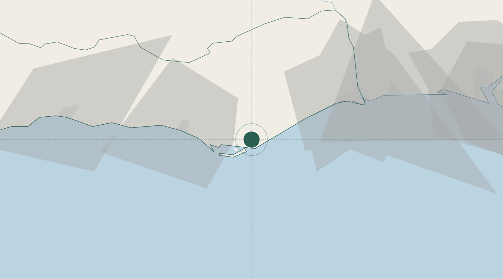
Place type
Provincial seat
Region
Faro
Population
29,239
Time zone
Europe/Lisbon
Elevation
11 m
Location
Nearby Logistics Neighbours
Cities
- 1Fuzeta8 km
- 2Faro9 km
- 3Santa Luzia18 km
- 4Almancil19 km
- 5Tavira19 km
Ports
- 1Faro9 km
- 2Vila Real De S Antonio42 km
- 3Lagos70 km
- 4Huelva82 km
- 5Sines137 km
Airports
Trade Zones
- 1Puerto de Huelva81 km
- 2Zona Franca de Cádiz152 km
- 3Zona Franca de Sevilla166 km
- 4Tanger Free Export Zone226 km
- 5Depósito Franco de Algeciras237 km
DatabookThe Record of Consolidated Knowledge
Portugal beyond logistics?