Transport Functions
Port
Hub Profile
Place type
Populated place
Region
Faro
Population
9,267
Time zone
Europe/Lisbon
Elevation
13 m
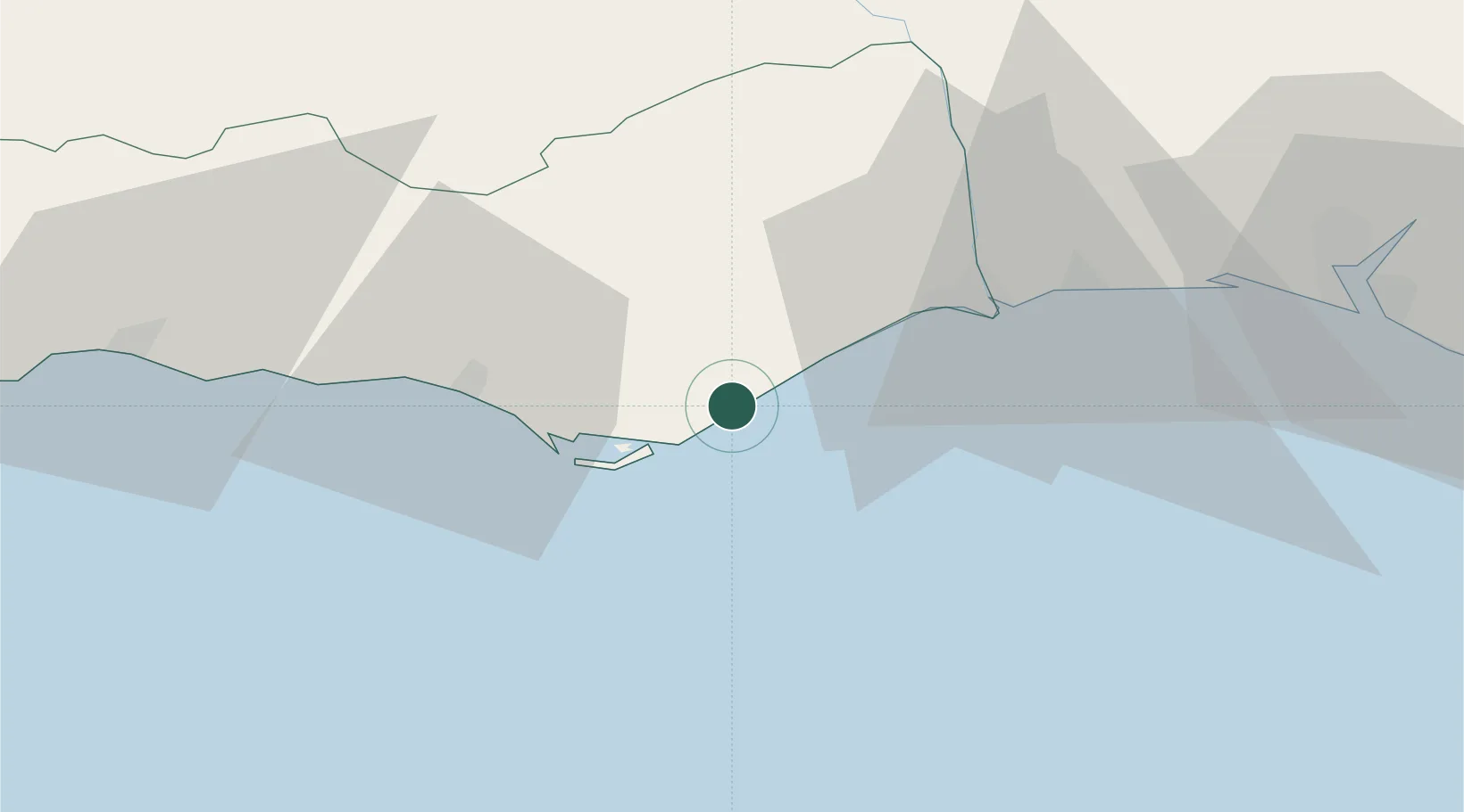
Location
Nearby Logistics Neighbours
Cities
- 1Olhão8 km
- 2Santa Luzia11 km
- 3Tavira12 km
- 4Faro17 km
- 5Almancil25 km
Ports
- 1Faro16 km
- 2Vila Real De S Antonio34 km
- 3Huelva74 km
- 4Lagos77 km
- 5Rota135 km
Airports
Trade Zones
- 1Puerto de Huelva74 km
- 2Zona Franca de Cádiz146 km
- 3Zona Franca de Sevilla158 km
- 4Tanger Free Export Zone221 km
- 5Depósito Franco de Algeciras231 km
DatabookThe Record of Consolidated Knowledge
Portugal beyond logistics?