Transport Functions
Rail
Road
Hub Profile
Place type
Provincial seat
Region
Évora
Time zone
Europe/Lisbon
Elevation
341 m
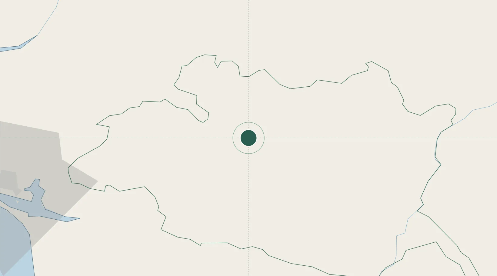
Location
Nearby Logistics Neighbours
Cities
- 1Igrejinha8 km
- 2Azaruja18 km
- 3Évora18 km
- 4Montemor-o-Novo22 km
- 5Mora29 km
Ports
- 1Setubal83 km
- 2Lisboa103 km
- 3Sines115 km
- 4Figueira Da Foz176 km
- 5Vila Real De S Antonio178 km
Airports
- 1Évora Airfield22 km
- 2Estremoz Municipal Heliport35 km
- 3Aeródromo Municipal de Ponte de Sor55 km
- 4Beja Airport / Airbase71 km
- 5Tancos Airbase91 km
Trade Zones
- 1Puerto de Huelva185 km
- 2Zona Franca de Sevilla232 km
- 3VGP Park Santa Maria da Feira251 km
- 4Zona Livre Tecnológica Masotinhos280 km
- 5Zona Franca de Cádiz289 km
DatabookThe Record of Consolidated Knowledge
Portugal beyond logistics?