Transport Functions
Multimodal
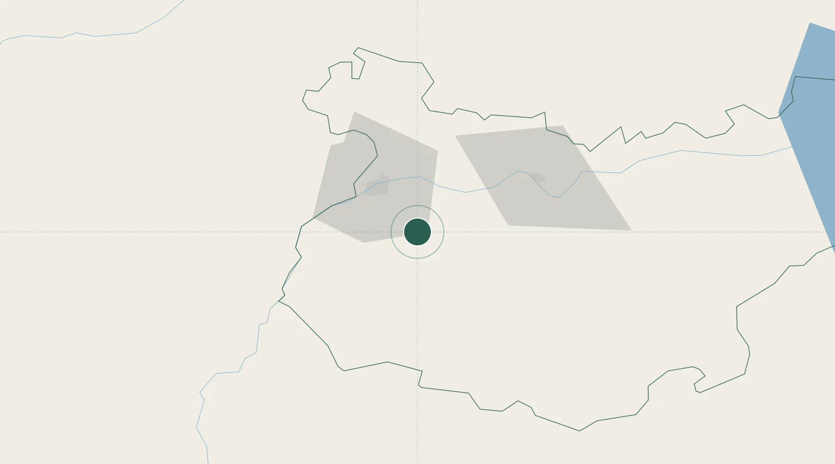
Hub Profile
Place type
Populated place
Region
Extremadura
Population
2,029
Time zone
Europe/Madrid
Elevation
258 m
Location
Nearby Logistics Neighbours
Cities
- 1Castropodame13 km
- 2Barcarrota22 km
- 3Salvaleon22 km
- 4Lobon23 km
- 5Pueblonuevo23 km
Ports
- 1Huelva164 km
- 2Sevilla166 km
- 3Vila Real De S Antonio178 km
- 4Setubal182 km
- 5Sines198 km
Airports
- 1Badajoz Airport19 km
- 2Estremoz Municipal Heliport70 km
- 3Évora Airfield95 km
- 4Beja Airport / Airbase120 km
- 5Aeródromo Municipal de Ponte de Sor121 km
Trade Zones
- 1Puerto de Huelva163 km
- 2Zona Franca de Sevilla170 km
- 3Zona Franca de Cádiz251 km
- 4Depósito Franco de Málaga274 km
- 5VGP Park Santa Maria da Feira288 km
DatabookThe Record of Consolidated Knowledge
Spain beyond logistics?