UN/LOCODE hub · Portugal
PTMMN
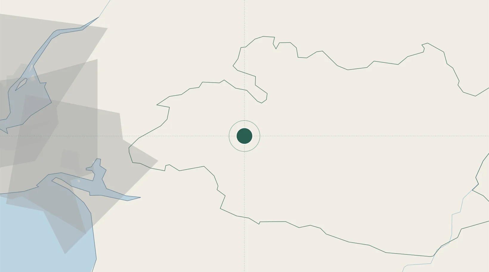
Montemor-o-Novo
38.6500°, -8.2167°
12,854
Population
2
Transport functions
Transport Functions
Rail
Road
Hub Profile
Place type
Provincial seat
Region
Évora
Population
12,854
Time zone
Europe/Lisbon
Elevation
247 m
Location
Nearby Logistics Neighbours
Cities
- 1Casa Branca17 km
- 2Vendas Novas21 km
- 3Arraiolos22 km
- 4Igrejinha28 km
- 5Évora29 km
Ports
- 1Setubal61 km
- 2Lisboa83 km
- 3Sines96 km
- 4Figueira Da Foz175 km
- 5Lagos176 km
Airports
- 1Évora Airfield31 km
- 2Estremoz Municipal Heliport56 km
- 3Aeródromo Municipal de Ponte de Sor64 km
- 4Beja Airport / Airbase68 km
- 5Montijo Air Base71 km
Trade Zones
- 1Puerto de Huelva190 km
- 2Zona Franca de Sevilla243 km
- 3VGP Park Santa Maria da Feira256 km
- 4Zona Livre Tecnológica Masotinhos284 km
- 5Zona Franca de Cádiz294 km
DatabookThe Record of Consolidated Knowledge
Portugal beyond logistics?