UN/LOCODE hub · Portugal
PTSIE
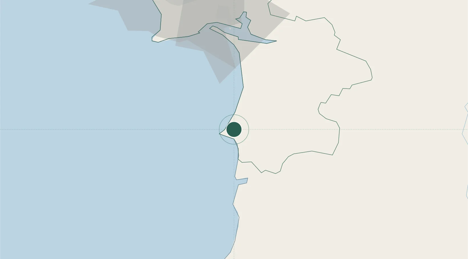
Sines
37.9753°, -8.8211°
12,791
Population
4
Transport functions
1
Container terminals
Transport Functions
Port
Rail
Road
Airport
Hub Profile
Place type
Provincial seat
Region
Setúbal
Population
12,791
Time zone
Europe/Lisbon
Elevation
40 m
Logistics facilities
6
Container terminals
1
Location
Nearby Logistics Neighbours
Cities
- 1Santiago do Cacém12 km
- 2Almograve36 km
- 3Ermidas39 km
- 4Colos41 km
- 5Alcácer do Sal52 km
Ports
- 1Setubal61 km
- 2Lisboa86 km
- 3Lagos99 km
- 4Faro131 km
- 5Vila Real De S Antonio153 km
Airports
- 1Beja Airport / Airbase79 km
- 2Montijo Air Base84 km
- 3Lisbon Humberto Delgado Airport94 km
- 4Portimão Airport94 km
- 5Cascais Airport96 km
Trade Zones
- 1Puerto de Huelva182 km
- 2Zona Franca de Sevilla258 km
- 3Zona Franca de Cádiz279 km
- 4VGP Park Santa Maria da Feira330 km
- 5Zona Livre Tecnológica Masotinhos356 km
DatabookThe Record of Consolidated Knowledge
Portugal beyond logistics?