Transport Functions
Port
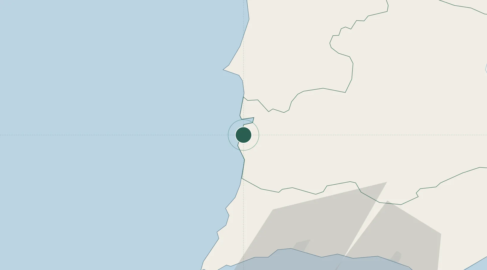
Hub Profile
Place type
Populated place
Region
Beja
Population
1,356
Time zone
Europe/Lisbon
Elevation
24 m
Location
Nearby Logistics Neighbours
Cities
- 1Colos31 km
- 2Sines36 km
- 3Santiago do Cacém42 km
- 4Ermidas53 km
- 5Aljustrel61 km
Airports
- 1Portimão Airport59 km
- 2Beja Airport / Airbase90 km
- 3Faro - Gago Coutinho International Airport102 km
- 4Montijo Air Base120 km
- 5Évora Airfield127 km
Trade Zones
- 1Puerto de Huelva168 km
- 2Zona Franca de Sevilla249 km
- 3Zona Franca de Cádiz259 km
- 4Tanger Free Export Zone335 km
- 5Depósito Franco de Algeciras344 km
DatabookThe Record of Consolidated Knowledge
Portugal beyond logistics?