UN/LOCODE hub · Portugal
PTSTC
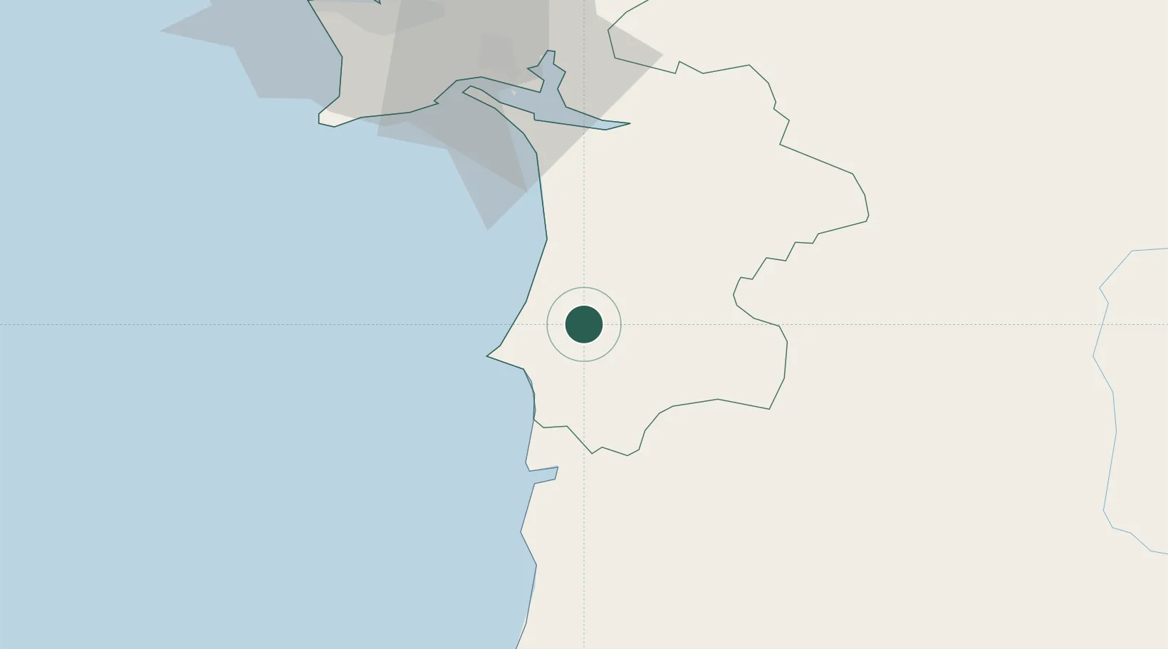
Santiago do Cacém
38.0167°, -8.7000°
7,797
Population
2
Transport functions
Transport Functions
Rail
Road
Hub Profile
Place type
Provincial seat
Region
Setúbal
Population
7,797
Time zone
Europe/Lisbon
Elevation
220 m
Location
Nearby Logistics Neighbours
Cities
- 1Sines12 km
- 2Ermidas28 km
- 3Colos38 km
- 4Almograve42 km
- 5Alcácer do Sal43 km
Airports
- 1Beja Airport / Airbase68 km
- 2Montijo Air Base82 km
- 3Évora Airfield91 km
- 4Lisbon Humberto Delgado Airport93 km
- 5Portimão Airport97 km
Trade Zones
- 1Puerto de Huelva175 km
- 2Zona Franca de Sevilla249 km
- 3Zona Franca de Cádiz274 km
- 4VGP Park Santa Maria da Feira324 km
- 5Zona Livre Tecnológica Masotinhos351 km
DatabookThe Record of Consolidated Knowledge
Portugal beyond logistics?