UN/LOCODE hub · Portugal
PTCVD
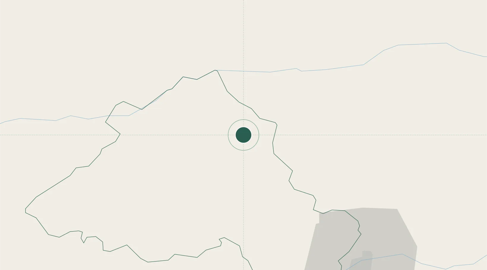
Castelo de Vide
39.4167°, -7.4500°
3,780
Population
2
Transport functions
Transport Functions
Rail
Road
Hub Profile
Place type
Populated place
Region
Portalegre
Population
3,780
Time zone
Europe/Lisbon
Elevation
570 m
Location
Nearby Logistics Neighbours
Cities
- 1Marvão6 km
- 2Valencia de Alcántara19 km
- 3Crato22 km
- 4Cabeço de Vide34 km
- 5Vila Velha de Ródão35 km
Ports
- 1Figueira Da Foz145 km
- 2Setubal160 km
- 3Lisboa168 km
- 4Aveiro171 km
- 5Sines204 km
Airports
- 1Aerodromo de Castelo Branco48 km
- 2Aeródromo Municipal de Ponte de Sor57 km
- 3Estremoz Municipal Heliport67 km
- 4Tancos Airbase79 km
- 5Badajoz Airport80 km
Trade Zones
- 1VGP Park Santa Maria da Feira193 km
- 2Zona Livre Tecnológica Masotinhos222 km
- 3Puerto de Huelva244 km
- 4Zona Franca de Sevilla264 km
- 5Zona Franca de Vigo332 km
DatabookThe Record of Consolidated Knowledge
Portugal beyond logistics?