Transport Functions
Rail
Road
Hub Profile
Place type
Provincial seat
Region
Évora
Time zone
Europe/Lisbon
Elevation
113 m
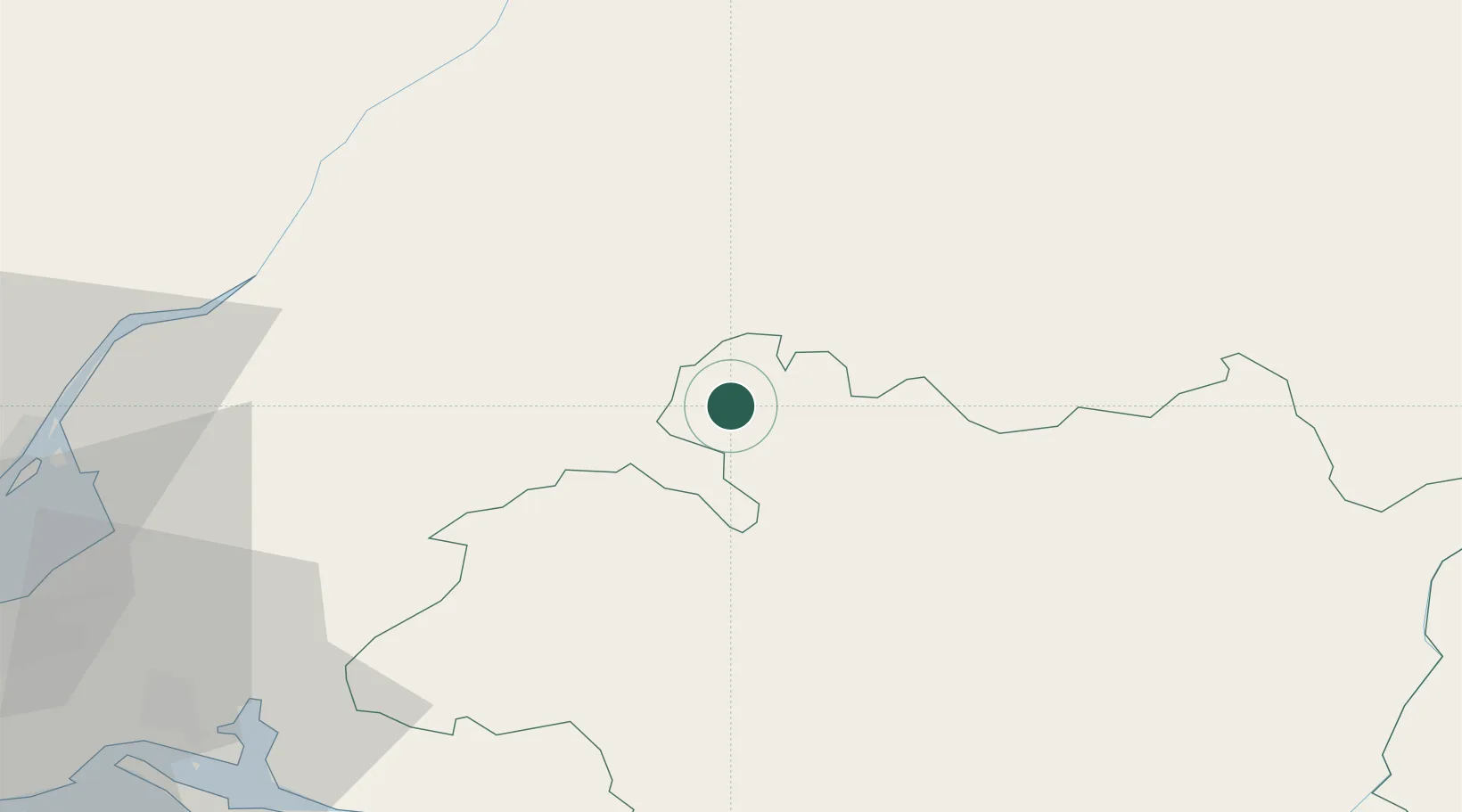
Location
Nearby Logistics Neighbours
Cities
- 1Arraiolos29 km
- 2Coruche30 km
- 3Montemor-o-Novo32 km
- 4Igrejinha35 km
- 5Vendas Novas37 km
Ports
- 1Setubal79 km
- 2Lisboa90 km
- 3Sines125 km
- 4Figueira Da Foz147 km
- 5Aveiro195 km
Airports
- 1Aeródromo Municipal de Ponte de Sor32 km
- 2Estremoz Municipal Heliport50 km
- 3Évora Airfield51 km
- 4Tancos Airbase63 km
- 5Alverca Air Base75 km
Trade Zones
- 1Puerto de Huelva214 km
- 2VGP Park Santa Maria da Feira225 km
- 3Zona Livre Tecnológica Masotinhos253 km
- 4Zona Franca de Sevilla260 km
- 5Zona Franca de Cádiz318 km
DatabookThe Record of Consolidated Knowledge
Portugal beyond logistics?