Transport Functions
Multimodal
Hub Profile
Place type
Populated place
Region
Podlasie
Population
1,400
Time zone
Europe/Warsaw
Elevation
139 m
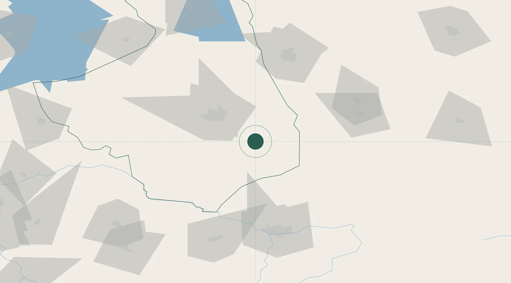
Location
Nearby Logistics Neighbours
Cities
- 1Hajnówka21 km
- 2Klewinowo24 km
- 3Turosn Koscielna32 km
- 4Wrzoski55 km
- 5Kuznica Bialostocka66 km
Ports
- 1Kaliningrad281 km
- 2Baltiysk305 km
- 3Klaipeda348 km
- 4Gdansk357 km
- 5Nowy Port360 km
Airports
- 1Hrodna Airport84 km
- 2Brest International Airport94 km
- 3Osovtsy Air Base100 km
- 4Minsk Mazowiecki Military Air Base149 km
- 5Olsztyn-Mazury Airport183 km
Trade Zones
DatabookThe Record of Consolidated Knowledge
Poland beyond logistics?