Medium airport · Poland

Olsztyn-Mazury AirportEPSY
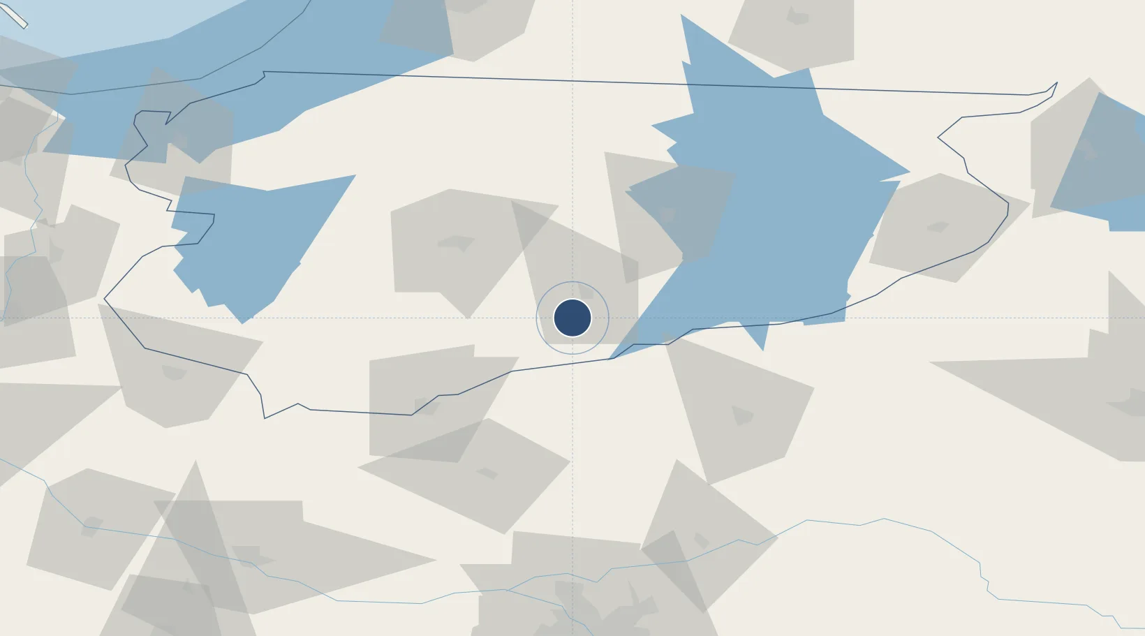
53.4819°, 20.9377°
8,202 ft
Longest runway
1
Runways
463 ft
Elevation

Runway & Layout

Olsztyn-Mazury Airport runway & taxiway layout
Runway & taxiway layout — OpenStreetMap (ODbL) / OurAirports

Radio Frequencies

TWR
118.025 MHz
MAZURY INFORMATION
OurAirports

Navaids

DW NDB Szczytno 288 kHz
OurAirports

Runways · 1

RunwayDimensions SurfaceTrue headingLit
01/19 8,202 × 147ft Concrete 019°
OurAirports

Airport Specifications

IATA code
SZY
OurAirports
ICAO code
EPSY
OurAirports
Airport class
Medium airport
OurAirports
Scheduled service
Yes
OurAirports
Runway surface
Concrete
OurAirports
Served city
Szymany
OurAirports

Location

Location of EPSY
Natural Earth 10m (public domain) · Warmian-Masurian · EPSY · 53.48, 20.94GoogleOSMYandex

Nearby Logistics Neighbours

Airports
  1. 1Warsaw Modlin Airport116 km
  2. 2Malbork Królewo Air Base133 km
  3. 3Chernyakhovsk Naval Air Base136 km
  4. 4Warsaw Chopin Airport146 km
  5. 5Kaliningrad Chkalovsk Naval Air Base147 km
Nearest neighbours — logibook spatial index (haversine) over the source coordinates
Cities
  1. 1Chorzele24 km
  2. 2Dzwierzuty26 km
  3. 3Nidzica37 km
  4. 4Jednorozec38 km
  5. 5Piecki40 km
Nearest neighbours — logibook spatial index (haversine) over the source coordinates
Ports
  1. 1Kaliningrad139 km
  2. 2Baltiysk145 km
  3. 3Gdansk177 km
  4. 4Nowy Port181 km
  5. 5Gdynia195 km
Nearest neighbours — logibook spatial index (haversine) over the source coordinates
Trade Zones
  1. 1Warmian-Masurian SEZ (Warmińsko-Mazurska SSE)44 km
  2. 2Warsaw Airport Duty Free Zone146 km
  3. 3Suwałki SEZ (Suwalska SSE)148 km
  4. 4East-West Duty Free Zone170 km
  5. 5Gdansk Port Duty Free Zone181 km
Nearest neighbours — logibook spatial index (haversine) over the source coordinates
DatabookThe Record of Consolidated Knowledge
Poland beyond logistics?
Browse databook

All Sources

AirportsOurAirports
Public domain
Portsthe NGA World Port Index
Public domain (US gov)
LocationsUN/LOCODE
UN/LOCODE — free
Trade Zonesthe World Bank SEZ database
CC BY 4.0
Trade ZonesOpen Zone Map
CC BY
InfrastructureOpenStreetMap
ODbL 1.0
← Poland airports