Transport Functions
Multimodal
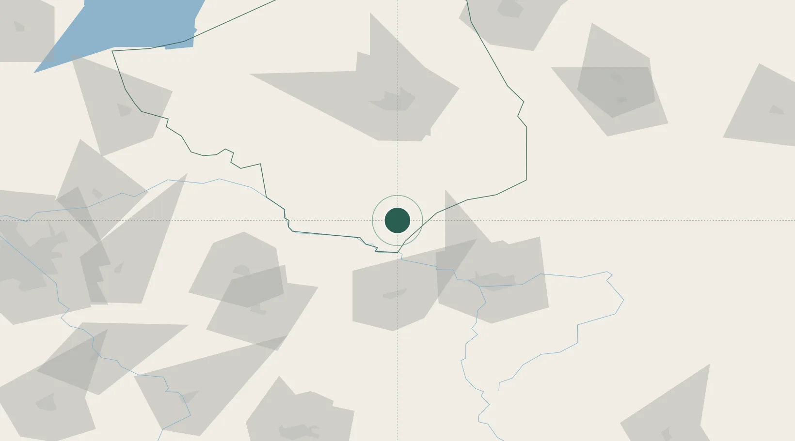
Hub Profile
Place type
Populated place
Region
Mazovia
Time zone
Europe/Warsaw
Elevation
154 m
Location
Nearby Logistics Neighbours
Cities
- 1Hajnówka41 km
- 2Bol'shiye Motykaly41 km
- 3Jablonna Lacka50 km
- 4Kobylany54 km
- 5Malaszewicze54 km
Ports
- 1Kaliningrad305 km
- 2Baltiysk323 km
- 3Gdansk364 km
- 4Nowy Port369 km
- 5Gdynia382 km
Airports
- 1Brest International Airport64 km
- 2Minsk Mazowiecki Military Air Base107 km
- 3Osovtsy Air Base117 km
- 4Deblin Military Air Base134 km
- 5Hrodna Airport140 km
Trade Zones
DatabookThe Record of Consolidated Knowledge
Poland beyond logistics?