Transport Functions
Rail
Road
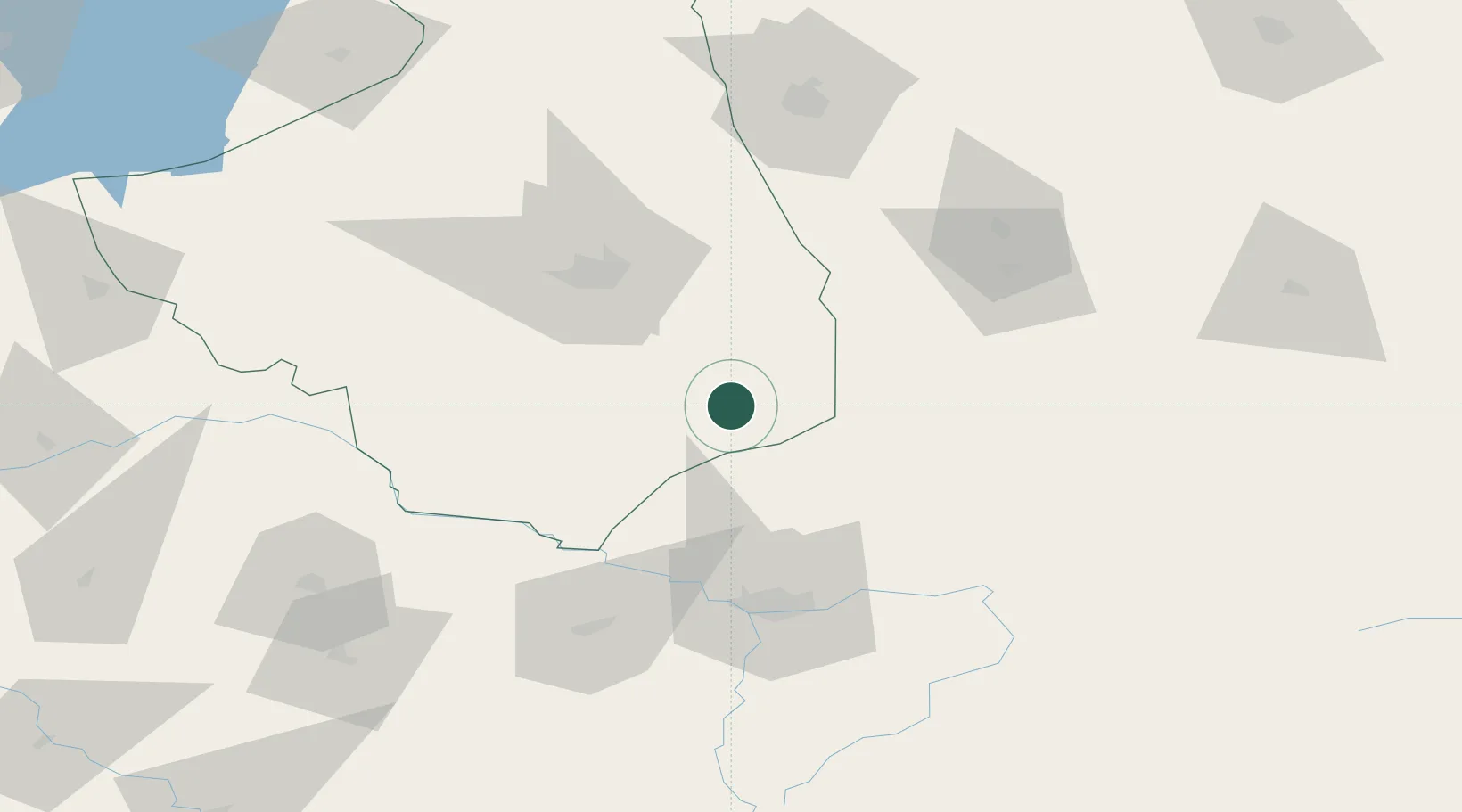
Hub Profile
Place type
District seat
Region
Podlasie
Population
22,157
Time zone
Europe/Warsaw
Elevation
162 m
Location
Nearby Logistics Neighbours
Cities
- 1Narew21 km
- 2Klewinowo39 km
- 3Wrzoski41 km
- 4Turosn Koscielna47 km
- 5Bol'shiye Motykaly59 km
Ports
- 1Kaliningrad299 km
- 2Baltiysk322 km
- 3Klaipeda368 km
- 4Gdansk371 km
- 5Nowy Port375 km
Airports
- 1Brest International Airport73 km
- 2Osovtsy Air Base90 km
- 3Hrodna Airport102 km
- 4Minsk Mazowiecki Military Air Base144 km
- 5Deblin Military Air Base175 km
Trade Zones
DatabookThe Record of Consolidated Knowledge
Poland beyond logistics?