UN/LOCODE hub · Poland
PLKUB

Kuznica Bialostocka

53.5000°, 23.6500°
3
Transport functions

Transport Functions

Rail
Road
Border Crossing
UN/LOCODE

Hub Profile

Region
20
GeoNames

Location

Location of PLKUB
Natural Earth 10m (public domain) · 20 · PLKUB · 53.50, 23.65GoogleOSMYandex

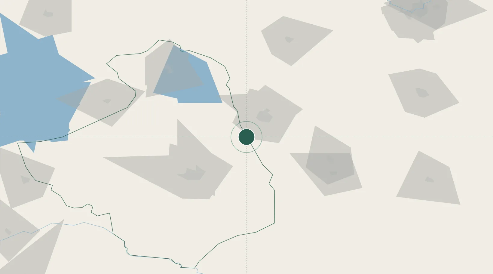
Nearby Logistics Neighbours

Cities
  1. 1Grodno22 km
  2. 2Dabrowa Bialostocka26 km
  3. 3Monki56 km
  4. 4Augustów58 km
  5. 5Vawkavysk65 km
Nearest neighbours — logibook spatial index (haversine) over the source coordinates
Ports
  1. 1Kaliningrad246 km
  2. 2Baltiysk275 km
  3. 3Klaipeda296 km
  4. 4Butinge Oil Terminal331 km
  5. 5Gdansk340 km
Nearest neighbours — logibook spatial index (haversine) over the source coordinates
Airports
  1. 1Hrodna Airport29 km
  2. 2Osovtsy Air Base133 km
  3. 3Brest International Airport156 km
  4. 4Vilnius International Airport165 km
  5. 5Kaunas International Airport165 km
Nearest neighbours — logibook spatial index (haversine) over the source coordinates
Trade Zones
  1. 1Free Economic Zone Grodnoinvest25 km
  2. 2Suwałki SEZ (Suwalska SSE)83 km
  3. 3Marijampolė Free Economic Zone118 km
  4. 4Free Economic Zone Brest157 km
  5. 5Kaunas Free Economic Zone162 km
Nearest neighbours — logibook spatial index (haversine) over the source coordinates
DatabookThe Record of Consolidated Knowledge
Poland beyond logistics?
Browse databook

All Sources

LocationsUN/LOCODE
UN/LOCODE — free
Portsthe NGA World Port Index
Public domain (US gov)
AirportsOurAirports
Public domain
Trade Zonesthe World Bank SEZ database
CC BY 4.0
Trade ZonesOpen Zone Map
CC BY
← Poland locations