Transport Functions
Multimodal
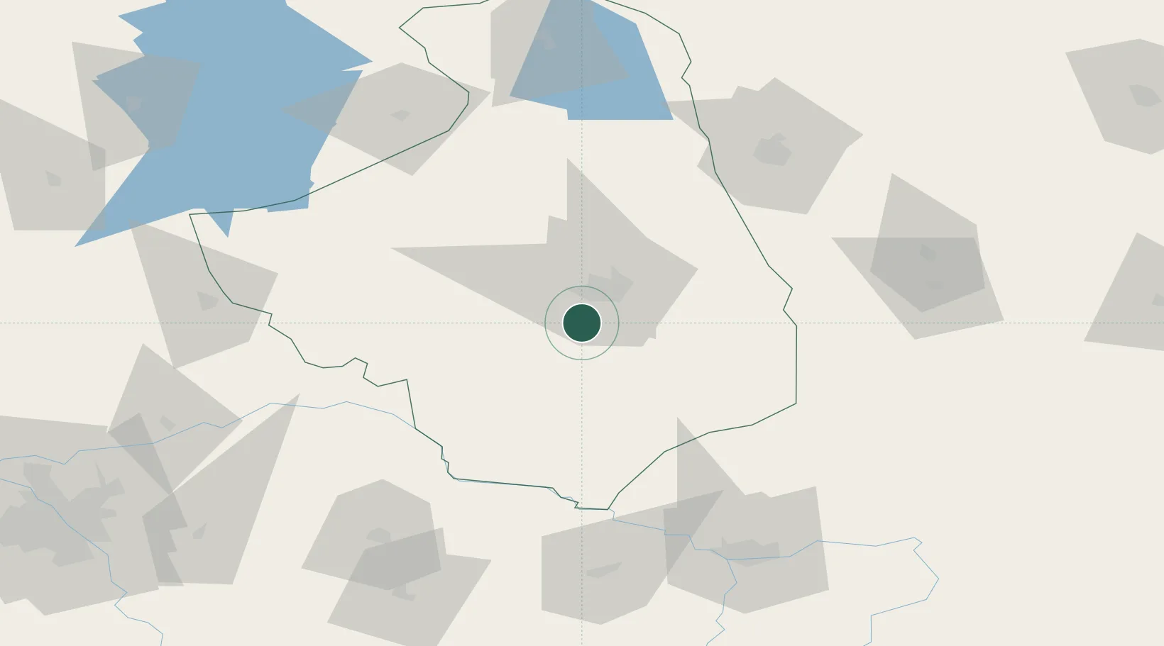
Hub Profile
Place type
District seat
Region
Podlasie
Population
700
Time zone
Europe/Warsaw
Elevation
129 m
Location
Nearby Logistics Neighbours
Cities
- 1Klewinowo9 km
- 2Narew32 km
- 3Kulesze Koscielne38 km
- 4Monki46 km
- 5Hajnówka47 km
Ports
- 1Kaliningrad252 km
- 2Baltiysk275 km
- 3Gdansk325 km
- 4Klaipeda326 km
- 5Nowy Port329 km
Airports
- 1Hrodna Airport92 km
- 2Brest International Airport116 km
- 3Minsk Mazowiecki Military Air Base132 km
- 4Osovtsy Air Base133 km
- 5Olsztyn-Mazury Airport151 km
Trade Zones
DatabookThe Record of Consolidated Knowledge
Poland beyond logistics?