Transport Functions
Multimodal
Hub Profile
Place type
Populated place
Region
Podlasie
Time zone
Europe/Warsaw
Elevation
145 m
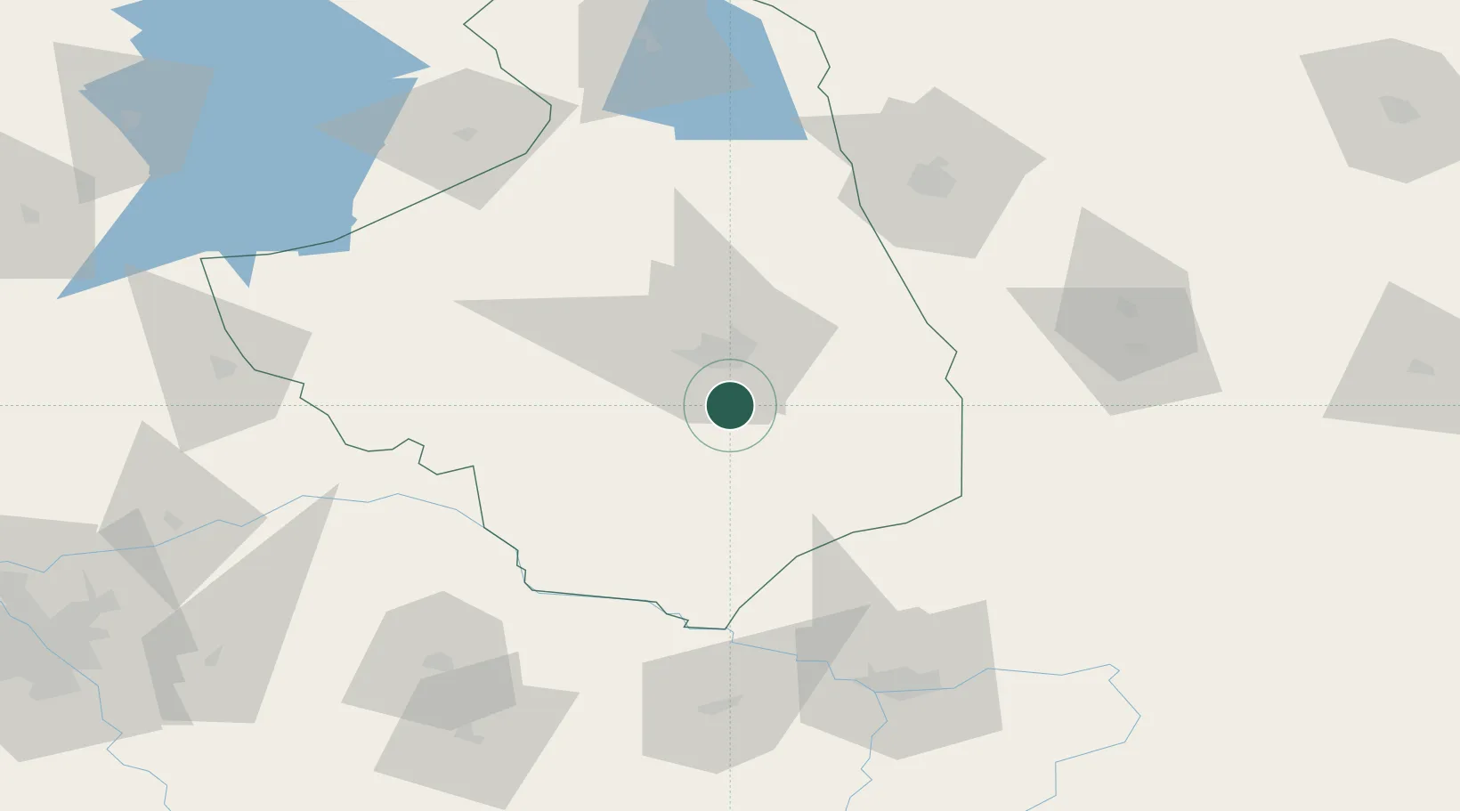
Location
Nearby Logistics Neighbours
Cities
- 1Turosn Koscielna9 km
- 2Narew24 km
- 3Hajnówka39 km
- 4Kulesze Koscielne46 km
- 5Monki52 km
Ports
- 1Kaliningrad260 km
- 2Baltiysk283 km
- 3Klaipeda332 km
- 4Gdansk334 km
- 5Nowy Port337 km
Airports
- 1Hrodna Airport90 km
- 2Brest International Airport109 km
- 3Osovtsy Air Base124 km
- 4Minsk Mazowiecki Military Air Base135 km
- 5Olsztyn-Mazury Airport159 km
Trade Zones
DatabookThe Record of Consolidated Knowledge
Poland beyond logistics?