Transport Functions
Multimodal
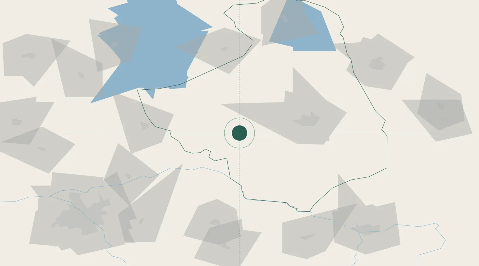
Hub Profile
Place type
Urban district
Region
Podlasie
Population
340
Time zone
Europe/Warsaw
Elevation
144 m
Location
Nearby Logistics Neighbours
Cities
- 1Zambrów19 km
- 2Piatnica32 km
- 3Turosn Koscielna38 km
- 4Monki46 km
- 5Klewinowo46 km
Ports
- 1Kaliningrad228 km
- 2Baltiysk247 km
- 3Gdansk292 km
- 4Nowy Port295 km
- 5Gdynia308 km
Airports
- 1Minsk Mazowiecki Military Air Base109 km
- 2Olsztyn-Mazury Airport115 km
- 3Hrodna Airport121 km
- 4Brest International Airport140 km
- 5Warsaw Modlin Airport140 km
Trade Zones
DatabookThe Record of Consolidated Knowledge
Poland beyond logistics?