Transport Functions
Port
Multimodal
Hub Profile
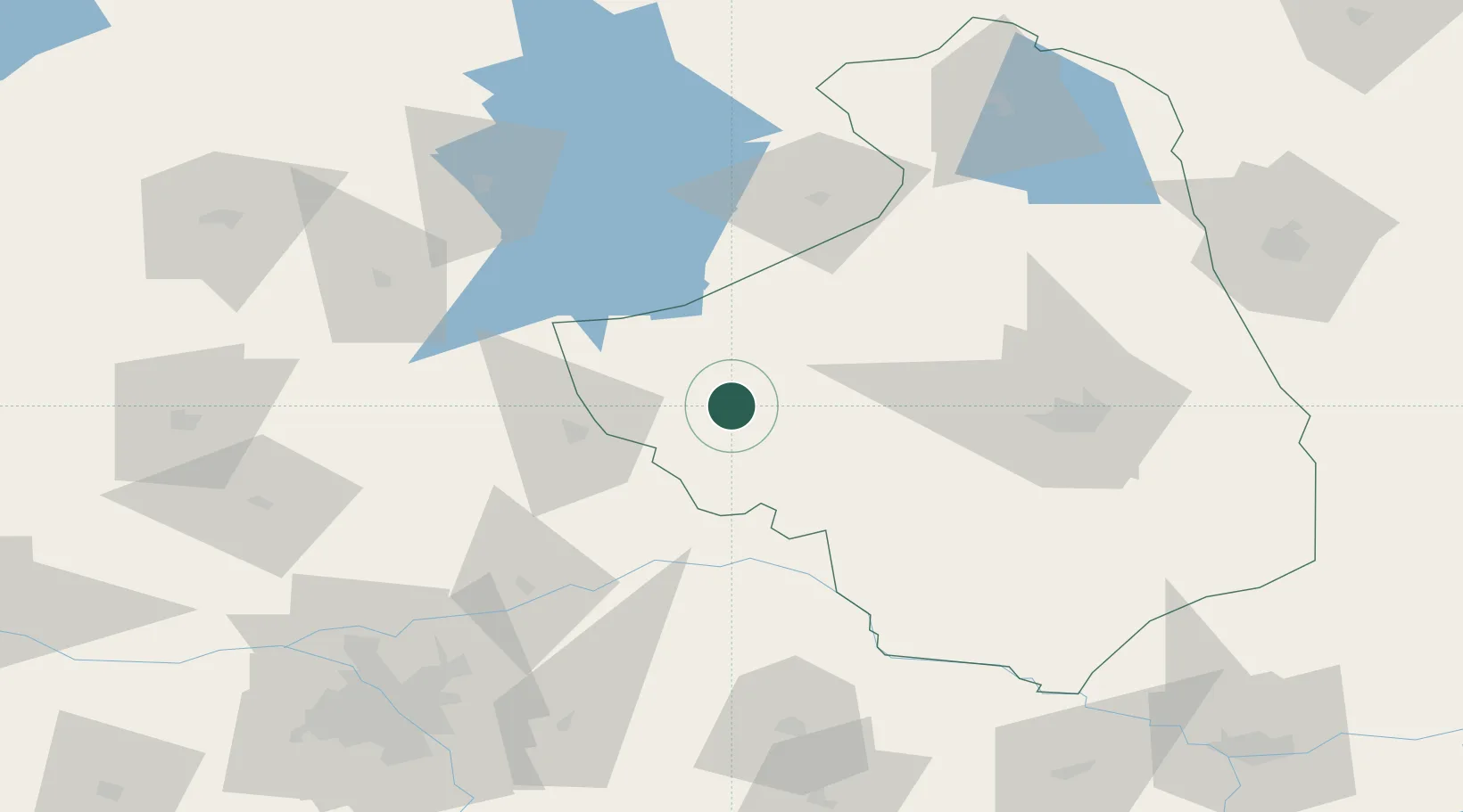
Place type
Populated place
Region
Podlasie
Population
1,800
Time zone
Europe/Warsaw
Elevation
104 m
Location
Nearby Logistics Neighbours
Cities
- 1Zambrów26 km
- 2Kulesze Koscielne32 km
- 3Ostroleka36 km
- 4Ostrów Mazowiecka46 km
- 5Monki54 km
Ports
- 1Kaliningrad199 km
- 2Baltiysk216 km
- 3Gdansk259 km
- 4Nowy Port263 km
- 5Gdynia276 km
Airports
- 1Olsztyn-Mazury Airport83 km
- 2Minsk Mazowiecki Military Air Base114 km
- 3Warsaw Modlin Airport126 km
- 4Warsaw Chopin Airport136 km
- 5Hrodna Airport139 km
Trade Zones
DatabookThe Record of Consolidated Knowledge
Poland beyond logistics?