Transport Functions
Rail
Road
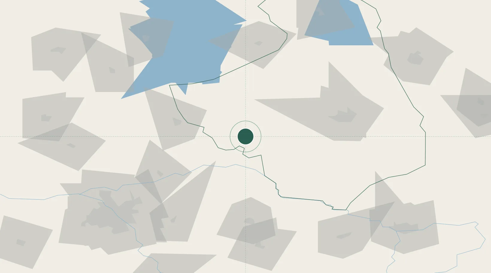
Hub Profile
Place type
Populated place
Region
Podlasie
Population
22,857
Time zone
Europe/Warsaw
Elevation
125 m
Location
Nearby Logistics Neighbours
Cities
- 1Kulesze Koscielne19 km
- 2Piatnica26 km
- 3Ostrów Mazowiecka30 km
- 4Ostroleka46 km
- 5Turosn Koscielna56 km
Ports
- 1Kaliningrad224 km
- 2Baltiysk240 km
- 3Gdansk281 km
- 4Nowy Port285 km
- 5Gdynia298 km
Airports
- 1Minsk Mazowiecki Military Air Base94 km
- 2Olsztyn-Mazury Airport104 km
- 3Warsaw Modlin Airport121 km
- 4Warsaw Chopin Airport124 km
- 5Hrodna Airport140 km
Trade Zones
DatabookThe Record of Consolidated Knowledge
Poland beyond logistics?